Cherry Carpets
Cherry Carpets is a carpet shop in Bromley, Greater London, England. Cherry Carpets is situated nearby to the bike shop Coney Hall Cycle Works, as well as near the community center Assembly Halls.| Tap on a place to explore it |
Places of Interest Nearby
Highlights include Coney Hall Cycle Works and Coney Hall Recreation Ground.
Coney Hall Cycle Works
Bike shop

Photo: Back ache, CC BY-SA 4.0.
Coney Hall Cycle Works is a bike shop.
Coney Hall Recreation Ground
Recreation area

Photo: Stephen Craven, CC BY-SA 2.0.
Coney Hall Recreation Ground is a recreation area, which is situated 1,400 feet southwest of Cherry Carpets.
Hayes (Kent) Railway Station
Railway station

Photo: Sunil060902, CC BY-SA 3.0.
Hayes railway station serves the suburban area of Hayes, in the London Borough of Bromley, south east London, England. It lies 14 miles 32 chains from London Charing Cross. Hayes (Kent) Railway Station is situated 3,100 feet northeast of Cherry Carpets.
Places in the Area
Nearby places include Coney Hall and Hayes.
Coney Hall
Suburb

Photo: Philip Talmage, CC BY-SA 2.0.
Coney Hall is an area of Greater London, within the London Borough of Bromley, Greater London and formerly in the historic county of Kent. It is located south of Hayes, west of Keston, north of Nash, and east of West Wickham of which it is usually considered a part.
Hayes
Suburb
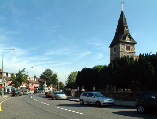
Photo: Philip Talmage, CC BY-SA 2.0.
Hayes is a suburban area of southeast London, England and part of the London Borough of Bromley. It is located 11 miles south-east of Charing Cross, to the north of Keston and Coney Hall, west of Bromley Common, south of Bromley town centre, and east of West Wickham.
West Wickham
Suburb
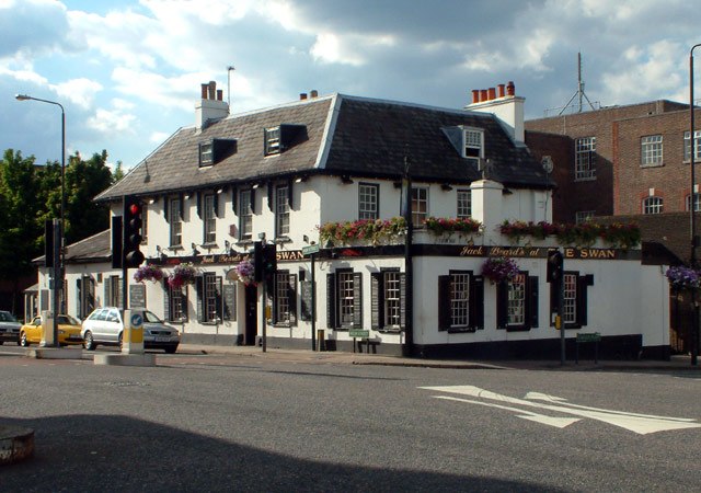
Photo: Philip Talmage, CC BY-SA 2.0.
West Wickham is an area of South East London, England, in the London Borough of Bromley. It lies south of Park Langley, Eden Park, Beckenham and Bromley town centre, west of Hayes and north of Coney Hall, east of Spring Park and Shirley.
Cherry Carpets
- Type: Carpet shop
- Category: shop
- Location: Bromley, Greater London, England, United Kingdom, Britain and Ireland, Europe
- View on OpenStreetMap
Latitude
51.36976° or 51° 22′ 11″ northLongitude
0.00187° or 0° 0′ 7″ eastOpen location code
9F329292+WPOpenStreetMap ID
node 8481957135OpenStreetMap feature
shop=carpet
This page is based on OpenStreetMap, Wikidata, and Wikimedia Commons.
We’d love your help improving our open data sources. Thank you for contributing.
Satellite Map
Discover Cherry Carpets from above in high-definition satellite imagery.
Notable Places Nearby
Highlights include Assembly Halls and Coney Hill Baptist Church.
Nearby Places
Explore places such as Coney Hall Dry Cleaners and Top To Toe.
England: Must-Visit Destinations
Delve into London, Manchester, Sheffield, and Leeds.
Curious Carpet Shops to Discover
Uncover intriguing carpet shops from every corner of the globe.
About Mapcarta. Data © OpenStreetMap contributors and available under the Open Database License". Text is available under the CC BY-SA 4.0 license, except for photos, directions, and the map. Photo: Mario modesto, CC BY-SA 3.0.