Business Circle LatinX
Business Circle LatinX is an office in Santa Clara County, California which is located on North 1st Street. Business Circle LatinX is situated nearby to the railway station Karina station, as well as near the pitch PayPal Beach Volleyball Court.| Tap on a place to explore it |
- Type: Voluntary association
- Also known as: “The Prosperity Lab – Business Circle LatinX”
- Address: 434, 2150 North 1st Street, San Jose, CA 95131
Places of Interest Nearby
Highlights include Karina station and Norman Y. Mineta San José International Airport.
Karina station
Railway station

Photo: Pedro Xing, CC0.
Karina station is a light rail station operated by Santa Clara Valley Transportation Authority. The station is located in San Jose, California in the center median of 1st Street near Karina Court. Karina station is situated 700 feet south of Business Circle LatinX.
Norman Y. Mineta San José International Airport
Aerodrome

Photo: Ariescwliang, CC BY-SA 3.0.
San José Mineta International Airport —officially Norman Y. Mineta San Jose International Airport—is a city-owned public airport in San Jose, California.
Casino M8trix
Casino
Casino M8trix is a cardroom in San Jose, California. The 8-story casino offers table games and a poker room. The casino secured one of the 15 card room licenses in San Jose. Casino M8trix is situated 2,300 feet south of Business Circle LatinX.
Places in the Area
Nearby places include Japantown and Agnew.
Japantown
Suburb
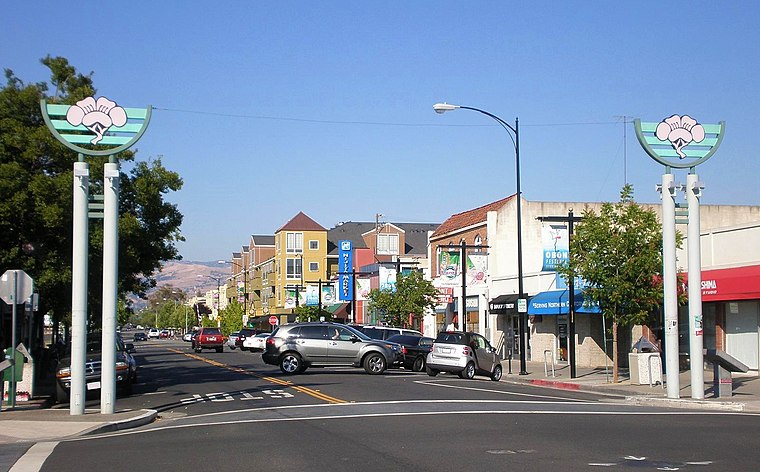
Photo: BrokenSphere, CC BY-SA 3.0.
Japantown, commonly known as J Town, is a historic cultural district of San Jose, California, north of Downtown San Jose. Historically a center for San Jose's Japanese American and Chinese American communities, San Jose's Japantown is one of only three Japantowns that still exist in the United States, alongside San Francisco's Japantown and Los Angeles's Little Tokyo. Japantown is situated 2½ miles southeast of Business Circle LatinX.
Agnew
Hamlet

Photo: EugeneZelenko, CC BY-SA 4.0.
Agnew's Village was a small unincorporated village in what is now Santa Clara, California. It was named for Abram Agnew, a Santa Clara Valley pioneer from Ohio who settled there around 1873. Agnew is situated 2½ miles northwest of Business Circle LatinX.
Luna Park
Suburb
Luna Park is a neighborhood in San Jose, California. It is bounded by Old Oakland Road/13th Street, Berryessa Road/Highway 101 and North 17th Street. It is named after the Luna Park amusement park built by Audley Ingersoll's of Ingersoll's Amusement and financed by the San Jose Street Car Company as a way of bringing more customers to the area. Luna Park is situated 2½ miles southeast of Business Circle LatinX.
Business Circle LatinX
- Category: office
- Location: Santa Clara County, California, United States, North America
- View on OpenStreetMap
Latitude
37.37735° or 37° 22′ 39″ northLongitude
-121.92024° or 121° 55′ 13″ westOpen location code
849W93GH+WWOpenStreetMap ID
node 8498033661OpenStreetMap feature
office=association
This page is based on OpenStreetMap, Wikidata, and Wikimedia Commons.
We’d love your help improving our open data sources. Thank you for contributing.
Satellite Map
Discover Business Circle LatinX from above in high-definition satellite imagery.
Notable Places Nearby
Highlights include PayPal Beach Volleyball Court and PayPal Basketball Court.
Nearby Places
Explore places such as RZV Cap and Endeavour Global.
California: Must-Visit Destinations
Delve into San Francisco, Los Angeles, San Diego, and Sacramento.
Curious Places to Discover
Uncover intriguing places from every corner of the globe.
About Mapcarta. Data © OpenStreetMap contributors and available under the Open Database License". Text is available under the CC BY-SA 4.0 license, except for photos, directions, and the map. Photo: Wikimedia, CC BY-SA 2.0.