Arabia London
Arabia London is a clothing store in Croydon, Greater London, England. Arabia London is situated nearby to the Hindu temple Shree Swaminarayan Temple, ISSO Streatham, as well as near the church St Bartholomews.| Tap on a place to explore it |
Places of Interest Nearby
Highlights include Norbury railway station and Norbury Park.
Norbury railway station
Railway station
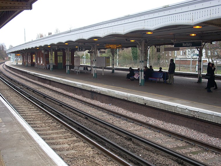
Photo: Whohe!, CC BY-SA 3.0.
Norbury railway station is a National Rail station in the Norbury area of the London Borough of Croydon in south London. It is on the Brighton Main Line, 7 miles 36 chains down the line from London Victoria. Norbury railway station is situated 970 feet southeast of Arabia London.
Norbury Park
Park

Photo: Noel Foster, CC BY-SA 2.0.
Norbury Park is situated 1,200 feet east of Arabia London.
Streatham Common railway station
Railway station

Photo: Sunil060902, CC BY-SA 3.0.
Streatham Common railway station is in Streatham in south London, 6 miles 48 chains from London Victoria, and in Travelcard Zone 3. The station is managed by Southern who also operate trains from the station. Streatham Common railway station is situated 3,200 feet northwest of Arabia London.
Places in the Area
Nearby places include Norbury and Lambeth.
Norbury
Suburb
Photo: Eagleash, CC BY-SA 4.0.
Norbury is an town and suburb in south London. It shares the postcode London SW16 with neighbouring Streatham. The area is mainly in the borough of Croydon, with some parts extending into the neighbouring borough of Lambeth.
Lambeth

Photo: brodiepunk, CC BY 2.0.
Lambeth is a borough of inner south-west London. Here is the official residence of the Archbishop of Canterbury at Lambeth Palace, St. Thomas's Hospital and County Hall.
Streatham
Suburb
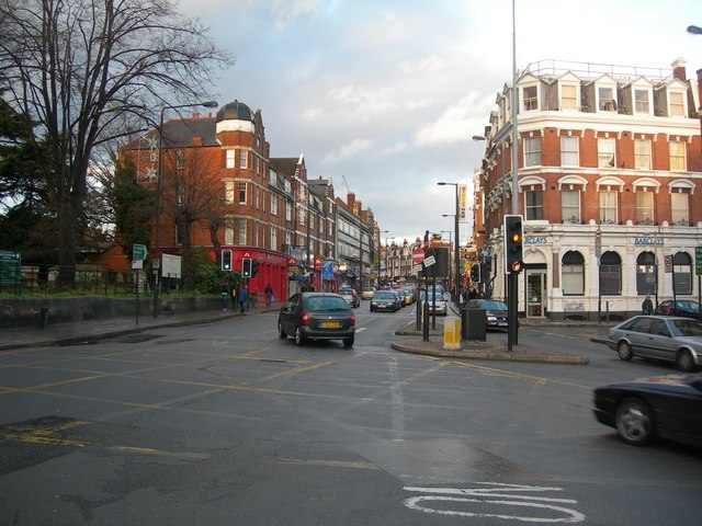
Photo: Danny Robinson, CC BY-SA 2.0.
Streatham, a district in south London in England, lies five miles south of Charing Cross. It falls mostly within the London Borough of Lambeth, with some parts extending westward into the neighbouring London Borough of Wandsworth.
Arabia London
- Type: Clothing store
- Category: shop
- Location: Croydon, Greater London, England, United Kingdom, Britain and Ireland, Europe
- View on OpenStreetMap
Latitude
51.41353° or 51° 24′ 49″ northLongitude
-0.12432° or 0° 7′ 28″ westOpen location code
9C3XCV7G+C7OpenStreetMap ID
node 8521468863OpenStreetMap feature
shop=clothes
This page is based on OpenStreetMap, Wikidata, and Wikimedia Commons.
We’d love your help improving our open data sources. Thank you for contributing.
Satellite Map
Discover Arabia London from above in high-definition satellite imagery.
Notable Places Nearby
Highlights include Shree Swaminarayan Temple, ISSO Streatham and St Bartholomews.
Nearby Places
Explore places such as CoCo Beanz and Paratha Planet.
England: Must-Visit Destinations
Delve into London, Manchester, Sheffield, and Leeds.
Curious Clothing Stores to Discover
Uncover intriguing clothing stores from every corner of the globe.
About Mapcarta. Data © OpenStreetMap contributors and available under the Open Database License". Text is available under the CC BY-SA 4.0 license, except for photos, directions, and the map. Photo: sidibousaid, CC BY 2.0.