Tescos (o/s)
Tescos (o/s) is a bus stop in Pytchley, Kettering District, England. Tescos (o/s) is situated nearby to the health club Everlast Gyms, as well as near the arts center The Dance Factory.| Tap on a place to explore it |
Places of Interest Nearby
Highlights include Southfield School and Kettering Conference Centre.
Southfield School
School
Southfield School is a girls' secondary school and coeducational sixth form with academy status, located in Kettering in the English county of Northamptonshire. Southfield School is situated 3,700 feet north of Tescos (o/s).
Kettering Conference Centre
Sports venue
The Kettering Conference Centre is a multi-functional sports and conference centre located in Kettering, Northamptonshire. It was also the location of Volleyball England's National Volleyball Centre until i2023. Kettering Conference Centre is situated 1 mile northwest of Tescos (o/s).
Church of All Saints, Pytchley
Church

Photo: Will Lovell, CC BY-SA 2.0.
Church of All Saints, Pytchley is situated 1¼ miles southwest of Tescos (o/s).
Places in the Area
Nearby places include Barton Seagrave and Kettering.
Barton Seagrave
Village
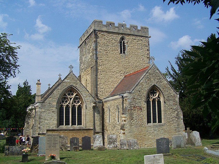
Photo: Geoff Pick, CC BY-SA 2.0.
Barton Seagrave is a large village and civil parish in the North Northamptonshire, England. The village is about 1.5 miles south-east of Kettering, town centre.
Kettering

Photo: Wikimedia, CC BY-SA 2.0.
Kettering is a town of 60,749 people in north Northamptonshire. Kettering owes much of its heritage and growth to the arrival of the railway during the mid-1800s.
Great Harrowden
Village

Photo: M J Richardson, CC BY-SA 2.0.
Great Harrowden is a village and civil parish in North Northamptonshire, with a population at the 2011 census of 161. The village is located near the A509 road running between Kettering and Wellingborough. Great Harrowden is situated 3½ miles south of Tescos (o/s).
Tescos (o/s)
- Type: Bus stop
- Category: transportation
- Location: Pytchley, Kettering District, North Northamptonshire, England, United Kingdom, Britain and Ireland, Europe
- View on OpenStreetMap
Latitude
52.37687° or 52° 22′ 37″ northLongitude
-0.71999° or 0° 43′ 12″ westOpen location code
9C4X97GJ+P2OpenStreetMap ID
node 8555416923OpenStreetMap feature
highway=bus_stopOpenStreetMap feature
public_transport=platform
This page is based on OpenStreetMap, Wikidata, and Wikimedia Commons.
We’d love your help improving our open data sources. Thank you for contributing.
Satellite Map
Discover Tescos (o/s) from above in high-definition satellite imagery.
Notable Places Nearby
Highlights include Everlast Gyms and The Dance Factory.
Nearby Places
Explore places such as The Mens Room and McDonald’s.
England: Must-Visit Destinations
Delve into London, Manchester, Sheffield, and Leeds.
Curious Bus Stops to Discover
Uncover intriguing bus stops from every corner of the globe.
About Mapcarta. Data © OpenStreetMap contributors and available under the Open Database License". Text is available under the CC BY-SA 4.0 license, except for photos, directions, and the map. Photo: sidibousaid, CC BY 2.0.