Ristikangas
Ristikangas is a suburb in Kemi, Sea Lapland and Torne River Valley, Finnish Lapland. Ristikangas is situated nearby to the suburb Kivikangas, as well as near Nauska.| Tap on a place to explore it |
Places of Interest
Highlights include Kemi-Tornio Airport and Kemi railway station.
Kemi-Tornio Airport
Aerodrome

Photo: TeVe, CC BY-SA 3.0.
Kemi-Tornio Airport is an airport in Kemi, Finland. The airport is located near the district of Lautiosaari, east of the Kemijoki, 6 kilometres north of Kemi city centre and 18 kilometres east of Tornio city centre. Kemi-Tornio Airport is situated 2½ km north of Ristikangas.
Kemi railway station
Railway station

Photo: TeVe, CC BY-SA 3.0.
Kemi railway station is located in the town of Kemi in the Lapland Region of Finland. It is operated by VR. The distance to the Helsinki Central railway station, via Haapamäki and Oulu stations is 858.3 kilometres. Kemi railway station is situated 2½ km south of Ristikangas.
Kemi Snowcastle

Photo: Dmit, CC BY-SA 3.0.
The SnowCastle of Kemi is the biggest snow fort in the world. It is rebuilt every winter with a different architecture in Kemi, Finland. In 1996, the first snow castle drew 300,000 visitors. Kemi Snowcastle is situated 4 km south of Ristikangas.
Places in the Area
Nearby places include Nauska and Kivikko (Kemi).


Ristikangas
- Type: Suburb
- Categories: part of city or town or population center and locality
- Location: Kemi, Kemi-Tornio, Sea Lapland and Torne River Valley, Finnish Lapland, Northern Finland, Finland, Nordic countries, Europe
- View on OpenStreetMap
Latitude
65.75987° or 65° 45′ 36″ northLongitude
24.58632° or 24° 35′ 11″ eastOpen location code
9GQ6QH5P+WGOpenStreetMap ID
node 856676075OpenStreetMap feature
place=suburbWikidata ID
Q103975263
This page is based on OpenStreetMap, Wikidata, and Wikimedia Commons.
We’d love your help improving our open data sources. Thank you for contributing.
Satellite Map
Discover Ristikangas from above in high-definition satellite imagery.
In Other Languages
“Ristikangas” goes by many names.
- Finnish: “Ristikangas”
Places with the Same Name
Discover other places named “Ristikangas”.
Localities in the Area
Explore places such as Kivikangas and Teknologiakylä.
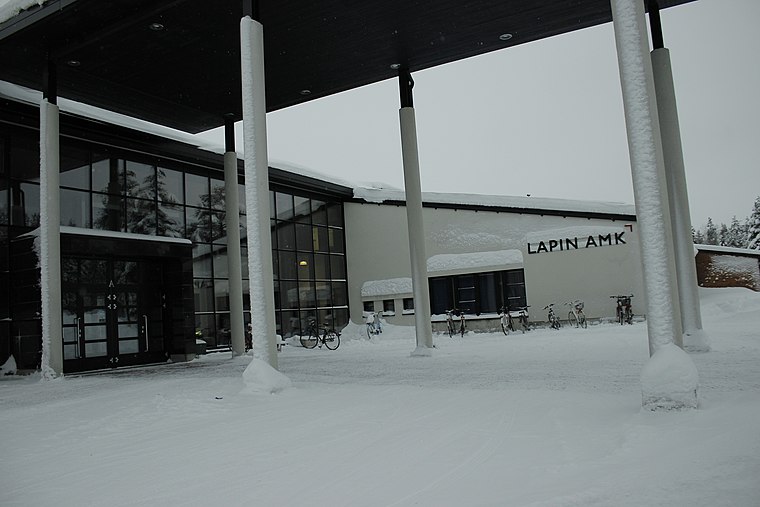
Notable Places Nearby
Highlights include Jousiammunta and Lapin AMK, Kemi.
Sea Lapland and Torne River Valley: Must-Visit Destinations
Delve into Tornio, Pello, Ylitornio, and Simo.
Curious Suburbs to Discover
Uncover intriguing suburbs from every corner of the globe.
About Mapcarta. Data © OpenStreetMap contributors and available under the Open Database License". Text is available under the CC BY-SA 4.0 license, except for photos, directions, and the map. Photo: Art of Backpacking, CC BY 2.0.