Wanderkarte Hessenreuther Wald
Wanderkarte Hessenreuther Wald is in Erbendorf, Tirschenreuth, Bavaria. Wanderkarte Hessenreuther Wald is situated nearby to the peak Schwarzberg, as well as near Hesserberg.| Tap on a place to explore it |
Places in the Area
Nearby places include Zessau and Weihersberg.
Zessau
Village

Photo: ME.Z, CC BY-SA 4.0.
Zessau is a village, which is situated 6 km southwest of Wanderkarte Hessenreuther Wald.
Weihersberg
Village
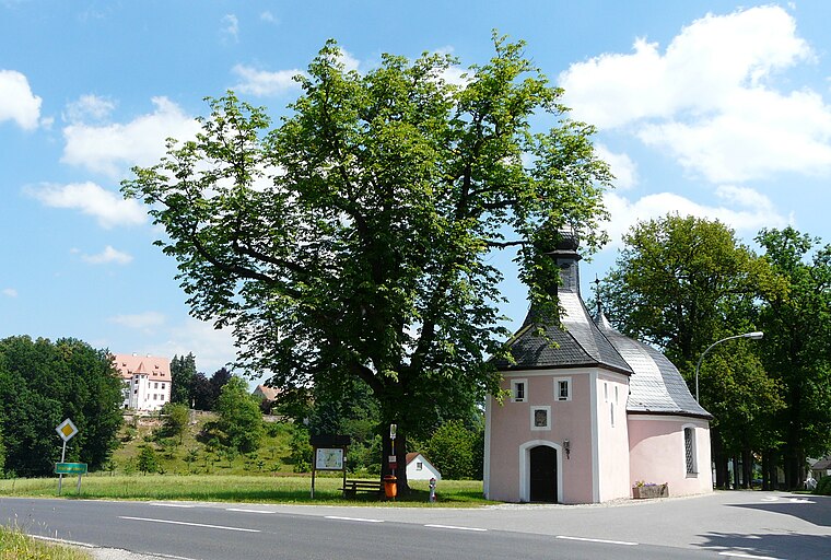
Photo: ME.Z, CC BY-SA 3.0.
Weihersberg is a village, which is situated 6 km southwest of Wanderkarte Hessenreuther Wald.
Pressath
Town
 Pressath is a town in the district of Neustadt an der Waldnaab, in Bavaria, Germany. Pressath was founded in 1657. It is situated 20 km northwest of Weiden in der Oberpfalz and ca. 7 km north of Grafenwöhr. Pressath is situated 7 km southwest of Wanderkarte Hessenreuther Wald.
Wanderkarte Hessenreuther Wald
- Type: Map
- Categories: information and tourism
- Location: Erbendorf, Tirschenreuth, Upper Palatinate, Bavaria, Germany, Central Europe, Europe
- View on OpenStreetMap
Latitude
49.82073° or 49° 49′ 15″ northLongitude
11.99099° or 11° 59′ 28″ eastOpen location code
8FXHRXCR+79OpenStreetMap ID
node 8592570913OpenStreetMap feature
tourism=information
This page is based on OpenStreetMap, Wikidata, and Wikimedia Commons.
We’d love your help improving our open data sources. Thank you for contributing.
Satellite Map
Discover Wanderkarte Hessenreuther Wald from above in high-definition satellite imagery.
Notable Places Nearby
Highlights include Schwarzberg and Hesserberg.
Nearby Places
Explore places such as Wanderparkplatz and Gasthof Schraml.
Upper Palatinate: Must-Visit Destinations
Delve into Regensburg, Amberg, Cham, and Schwandorf.
Curious Places to Discover
Uncover intriguing places from every corner of the globe.
About Mapcarta. Data © OpenStreetMap contributors and available under the Open Database License". Text is available under the CC BY-SA 4.0 license, except for photos, directions, and the map. Photo: Wikimedia, CC0.