Ambulanz-Zentrum
Ambulanz-Zentrum is a hospital in Leverkusen, Cologne District, North Rhine-Westphalia. Ambulanz-Zentrum is situated nearby to the hospital Städtisches Klinikum Leverkusen - Kinderklinikum, as well as near the government office Stadt Leverkusen - Fachbereich 53 Medizinischer Dienst.| Tap on a place to explore it |
Places of Interest Nearby
Highlights include Morsbroich Castle and Thomas More Church (Schlebusch).
Morsbroich Castle
Museum

Photo: Marcin-Janek, CC BY 3.0.
Morsbroich Castle is a museum, which is situated 470 metres north of Ambulanz-Zentrum.
Thomas More Church (Schlebusch)
Church

Photo: A.Savin, CC BY-SA 3.0.
Thomas More Church (Schlebusch) is situated 390 metres south of Ambulanz-Zentrum.
Kirche zu Schlebusch
Church
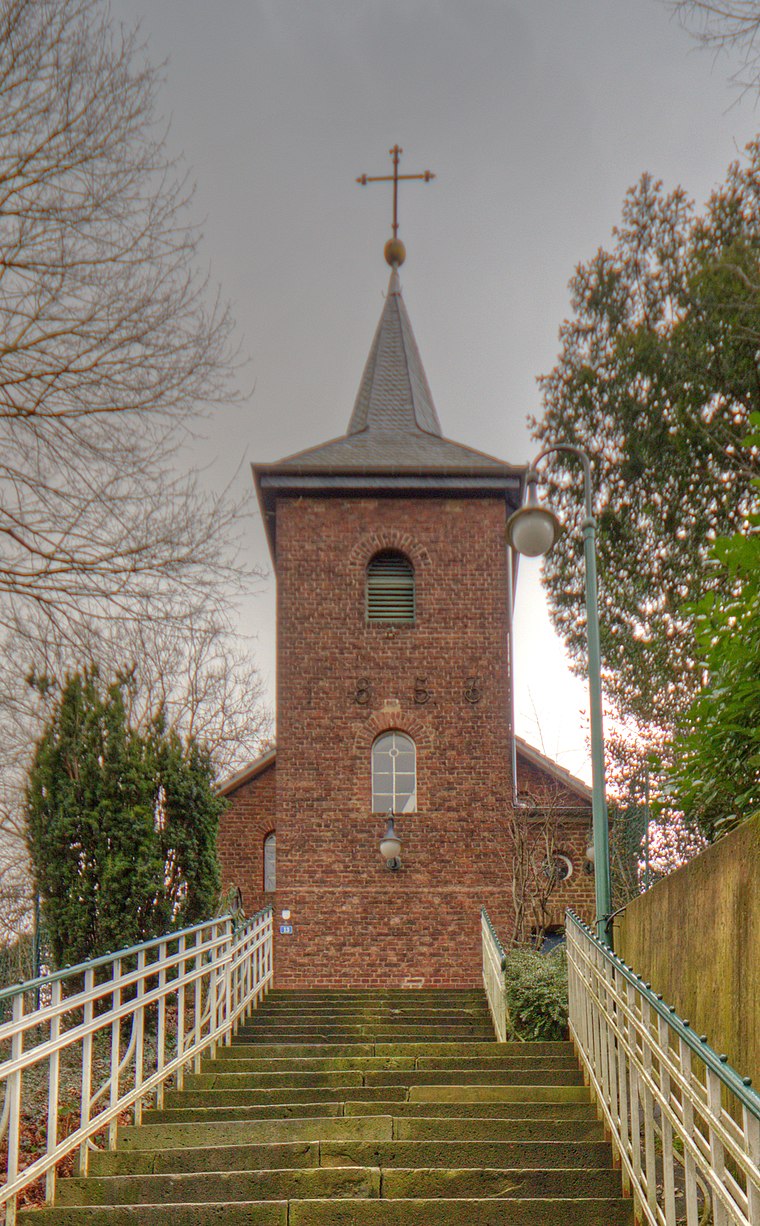
Photo: A.Savin, CC BY-SA 3.0.
Kirche zu Schlebusch is a church, which is situated 1 km east of Ambulanz-Zentrum.
Places in the Area
Nearby places include Biesenbach and Opladen.
Biesenbach
Village

Photo: DiAuras, CC BY-SA 4.0.
Biesenbach is a village, which is situated 4½ km north of Ambulanz-Zentrum.
Opladen
Suburb
Opladen, now a district of Leverkusen, used to be the capital of the Rhein-Wupper-Kreis until 1975. Opladen station is located 15 kilometres northeast from Cologne on the railway to Wuppertal. Opladen is situated 4½ km northwest of Ambulanz-Zentrum.

Ambulanz-Zentrum
- Type: Hospital
- Category: health care
- Location: Leverkusen, Cologne District, Cologne Lowland, North Rhine-Westphalia, Germany, Central Europe, Europe
- View on OpenStreetMap
Latitude
51.03178° or 51° 1′ 54″ northLongitude
7.03431° or 7° 2′ 4″ eastOpen location code
9F3922JM+PPOpenStreetMap ID
node 8623308617OpenStreetMap feature
amenity=hospital
This page is based on OpenStreetMap, Wikidata, and Wikimedia Commons.
We’d love your help improving our open data sources. Thank you for contributing.
Satellite Map
Discover Ambulanz-Zentrum from above in high-definition satellite imagery.
Places with the Same Name
Discover other places named “Ambulanz-Zentrum”.
Notable Places Nearby
Highlights include Städtisches Klinikum Leverkusen - Kinderklinikum and Stadt Leverkusen - Fachbereich 53 Medizinischer Dienst.
Nearby Places
Explore places such as Parkhaus Klinikum Leverkusen and Strahlentherapie 360° - MediLev.
Cologne Lowland: Must-Visit Destinations
Delve into Cologne, Bonn, Siegburg, and Bad Honnef.
Curious Places to Discover
Uncover intriguing places from every corner of the globe.
About Mapcarta. Data © OpenStreetMap contributors and available under the Open Database License". Text is available under the CC BY-SA 4.0 license, except for photos, directions, and the map. Photo: A.Savin, CC BY-SA 3.0.