Bržanka
Bržanka is a peak in Koper, Coast and Karst and has an elevation of 343 metres. Bržanka is situated nearby to the hamlet Gorenjci, as well as near the village Boršt.| Tap on a place to explore it |
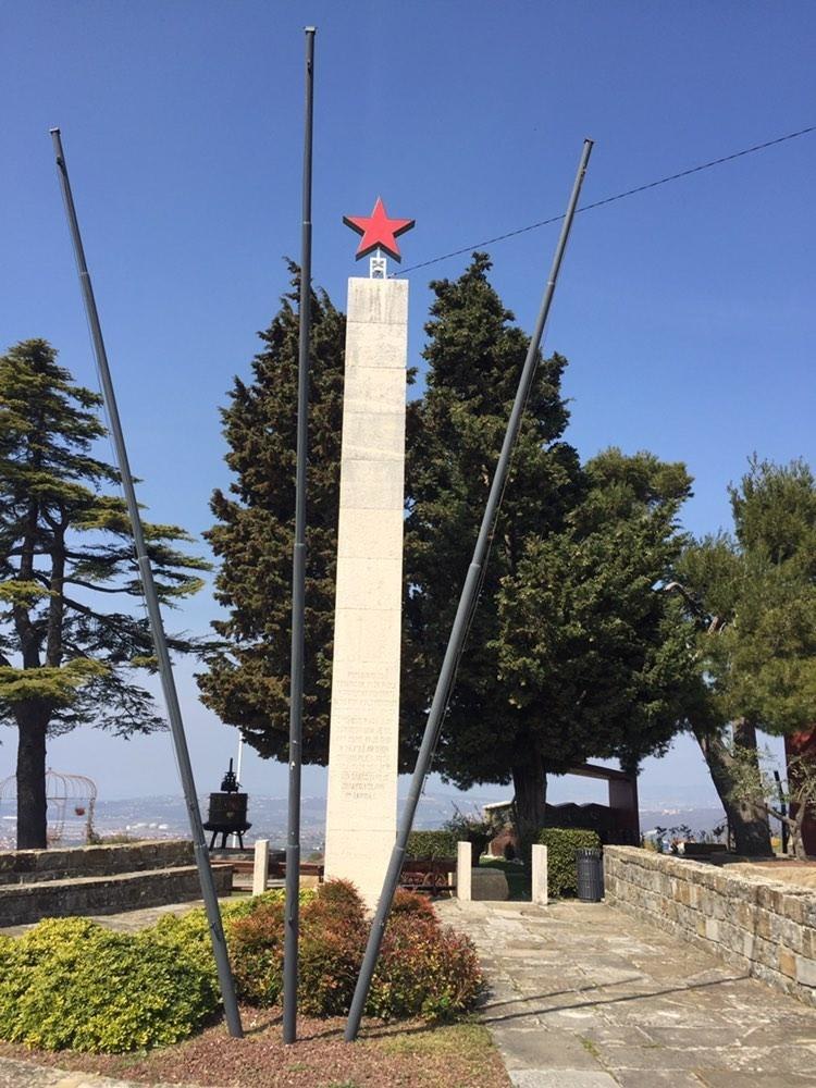
Places of Interest
Highlights include Mazurin’s Mill and Belvedur.

Belvedur
Dwelling
Belvedur is a small settlement in the City Municipality of Koper in the Littoral region of Slovenia.
Places in the Area
Nearby places include Truške and Marezige.
Truške
Village

Photo: Alenka Bratec, CC BY-SA 3.0.
Truške is a village in the City Municipality of Koper in the Littoral region of Slovenia.
Marezige
Village

Photo: AnaJur, CC BY-SA 3.0.
Marezige is a village in the City Municipality of Koper in the Littoral region of Slovenia. The parish church in the settlement is dedicated to the Feast of the Cross.
Babiči
Village

Photo: Xyxyx, CC BY-SA 3.0.
Babiči is a village in the City Municipality of Koper in the Littoral region of Slovenia. A small church on a hill above the settlement is dedicated to Saints John and Paul.
Bržanka
- Type: Peak with an elevation of 343 metres
- Category: landform
- Location: Koper, Coast and Karst, Slovenia, Central Europe, Europe
- View on OpenStreetMap
Latitude
45.4832° or 45° 28′ 60″ northLongitude
13.8076° or 13° 48′ 27″ eastElevation
343 metres (1,125 feet)Open location code
8FQMFRM5+72OpenStreetMap ID
node 8625144775OpenStreetMap feature
natural=peak
This page is based on OpenStreetMap, Wikidata, and Wikimedia Commons.
We’d love your help improving our open data sources. Thank you for contributing.
Satellite Map
Discover Bržanka from above in high-definition satellite imagery.
Places with the Same Name
Discover other places named “Bržanka”.
Localities in the Area
Explore places such as Gorenjci and Boršt.
Notable Places Nearby
Highlights include Varda and Cerkev svetega Roka.
Coast and Karst: Must-Visit Destinations
Delve into Piran, Nova Gorica, Postojna, and Izola.
Curious Peaks to Discover
Uncover intriguing peaks from every corner of the globe.
About Mapcarta. Data © OpenStreetMap contributors and available under the Open Database License". Text is available under the CC BY-SA 4.0 license, except for photos, directions, and the map. Photo: Grant Bishop, CC BY-SA 4.0.