Beckenham Castles
Beckenham Castles is a party shop in Bromley, Greater London, England which is located on Abbots Way. Beckenham Castles is situated nearby to Marian Vian Primary School, as well as near Monks Orchard Primary School.| Tap on a place to explore it |
Places of Interest Nearby
Highlights include Elmers End station and Monks Orchard Primary School.
Elmers End station
Railway station

Photo: Sunil060902, CC BY-SA 3.0.
Elmers End is a railway station and tram terminus in Elmers End, south London, England. It lies in the London Borough of Bromley and is 11 miles 7 chains down the line from London Charing Cross. Elmers End station is situated 2,000 feet northwest of Beckenham Castles.
Monks Orchard Primary School
School

Photo: Mike Quinn, CC BY-SA 2.0.
Monks Orchard Primary School is situated 630 feet southwest of Beckenham Castles.
Bethlem Royal Hospital
Hospital

Photo: Philip Talmage, CC BY-SA 2.0.
Bethlem Royal Hospital, also known as St Mary Bethlehem, Bethlehem Hospital and Bedlam, is a psychiatric hospital in Bromley, London. Its famous history has inspired several horror books, films, and television series, most notably Bedlam, a 1946 film with Boris Karloff. Bethlem Royal Hospital is situated 1 mile southeast of Beckenham Castles.
Places in the Area
Nearby places include Elmers End and Monks Orchard.
Elmers End
Suburb

Photo: Stacey Harris, CC BY-SA 2.0.
Elmers End is an area of south-east London, England, within the London Borough of Bromley, Greater London and formerly part of the historic county of Kent. It is located south of Beckenham, west of Eden Park, north of Monks Orchard and east of Anerley.
Monks Orchard
Suburb
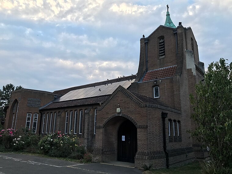
Photo: WisDom-UK, CC BY-SA 4.0.
Monks Orchard is a suburb on the edge of the London Borough of Croydon, in the ceremonial county of Greater London, England, prior to 1965 it was located in the historical county of Surrey.
Eden Park
Suburb

Photo: Dr Neil Clifton, CC BY-SA 2.0.
Eden Park is a suburban area in Greater London, England, within the London Borough of Bromley, Greater London and prior to 1965, in the historic county of Kent.
Beckenham Castles
- Type: Party shop
- Address: 79 Abbots Way, Beckenham, BR3 3SE
- Category: shop
- Location: Bromley, Greater London, England, United Kingdom, Britain and Ireland, Europe
- View on OpenStreetMap
Latitude
51.39309° or 51° 23′ 35″ northLongitude
-0.04613° or 0° 2′ 46″ westOpen location code
9C3X9XV3+6GOpenStreetMap ID
node 8632321308OpenStreetMap feature
shop=party
This page is based on OpenStreetMap, Wikidata, and Wikimedia Commons.
We’d love your help improving our open data sources. Thank you for contributing.
Satellite Map
Discover Beckenham Castles from above in high-definition satellite imagery.
Notable Places Nearby
Highlights include Marian Vian Primary School and Elmers End Recreation Ground.
Nearby Places
Explore places such as Adams Road Allotments and Aukland House.
England: Must-Visit Destinations
Delve into London, Manchester, Sheffield, and Leeds.
Curious Party Shops to Discover
Uncover intriguing party shops from every corner of the globe.
About Mapcarta. Data © OpenStreetMap contributors and available under the Open Database License". Text is available under the CC BY-SA 4.0 license, except for photos, directions, and the map. Photo: Mario modesto, CC BY-SA 3.0.