Mönchröden
Mönchröden is a railway stop in Rödental, Landkreis Coburg, Bavaria. Mönchröden is situated nearby to the building Cultural heritage D-4-73-159-16 in Rödental, as well as near Pfarrhaus.| Tap on a place to explore it |
Places of Interest Nearby
Highlights include Cultural heritage D-4-73-159-16 in Rödental and Pfarrhaus.
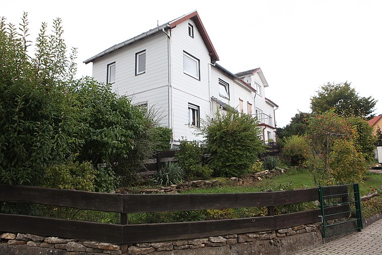
Cultural heritage D-4-73-159-16 in Rödental
Building

Photo: Störfix, CC BY-SA 3.0.
Cultural heritage D-4-73-159-16 in Rödental is a building, which is situated 220 metres southeast of Mönchröden.
Pfarrhaus
Building

Photo: Störfix, CC BY-SA 3.0 de.
Pfarrhaus is a building, which is situated 220 metres southeast of Mönchröden.
St. Mary (Einberg)
Church

Photo: Störfix, CC BY-SA 3.0 de.
St. Mary (Einberg) is a church, which is situated 2 km southwest of Mönchröden.
Places in the Area
Nearby places include Gnailes and Alexandrinenthal.
Alexandrinenthal
Neighborhood

Photo: Wikimedia, CC BY-SA 3.0 de.
Alexandrinenthal is a neighborhood.

Mönchröden
- Type: Railway stop
- Categories: transport stop and transportation
- Location: Rödental, Landkreis Coburg, Upper Franconia, Franconia, Bavaria, Germany, Central Europe, Europe
- View on OpenStreetMap
Latitude
50.30244° or 50° 18′ 9″ northLongitude
11.05796° or 11° 3′ 29″ eastOpen location code
9F2H8325+X5OpenStreetMap ID
node 8632747881OpenStreetMap feature
public_transport=stop_positionOpenStreetMap feature
railway=stop
This page is based on OpenStreetMap, Wikidata, and Wikimedia Commons.
We’d love your help improving our open data sources. Thank you for contributing.
Satellite Map
Discover Mönchröden from above in high-definition satellite imagery.
Places with the Same Name
Discover other places named “Mönchröden”.
Notable Places Nearby
Highlights include Mönchröden and Christuskirche.
Nearby Places
Explore places such as Rödental, Gh. Wildpark and Dr. Hasselkus - Allgemeinmediziner.
Upper Franconia: Must-Visit Destinations
Delve into Bamberg, Bayreuth, Coburg, and Hof.
Curious Railway Stops to Discover
Uncover intriguing railway stops from every corner of the globe.
About Mapcarta. Data © OpenStreetMap contributors and available under the Open Database License". Text is available under the CC BY-SA 4.0 license, except for photos, directions, and the map. Photo: Wikimedia, CC0.