Köves-tábla
Köves-tábla is a locality in Veszprém County, Central Transdanubia. Köves-tábla is situated nearby to the village Úrkút, as well as near the locality Sátán-árok.| Tap on a place to explore it |
Places of Interest
Highlights include Kab Hill.
Places in the Area
Nearby places include Ajka and Nagyvázsony Military Base.
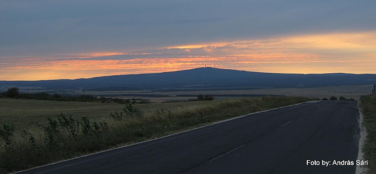
Ajka
Town

Photo: Globetrotter19, CC BY-SA 3.0.
Ajka is a city in Hungary with about 27,000 inhabitants. It is situated in the hills of Bakony. Ajka is situated 7 km northwest of Köves-tábla.
Nagyvázsony Military Base
Locality

Photo: Christo, CC BY-SA 4.0.
Nagyvázsony Military Base is a locality, which is situated 8 km southeast of Köves-tábla.
Köves-tábla
- Type: Locality
- Location: Veszprém County, Central Transdanubia, Hungary, Central Europe, Europe
- View on OpenStreetMap
Latitude
47.07595° or 47° 4′ 33″ northLongitude
17.63506° or 17° 38′ 6″ eastOpen location code
8FVV3JGP+92OpenStreetMap ID
node 8644384505OpenStreetMap feature
place=locality
This page is based on OpenStreetMap, Wikidata, and Wikimedia Commons.
We’d love your help improving our open data sources. Thank you for contributing.
Satellite Map
Discover Köves-tábla from above in high-definition satellite imagery.
Localities in the Area
Explore places such as Úrkút and Sátán-árok.
Notable Places Nearby
Highlights include Posta and Úrkút Község Önkormányzata.
Veszprém County: Must-Visit Destinations
Delve into Veszprém, Pápa, Sümeg, and Várpalota.
Curious Localities to Discover
Uncover intriguing localities from every corner of the globe.
About Mapcarta. Data © OpenStreetMap contributors and available under the Open Database License". Text is available under the CC BY-SA 4.0 license, except for photos, directions, and the map. Photo: Wikimedia, CC0.