Lo’s
Lo’s is a neighborhood in Rotterdam, Rotterdam-The Hague Metropolitan Region, South Holland. Lo’s is situated nearby to the neighborhood Steinen, as well as near Velden.| Tap on a place to explore it |
Places of Interest
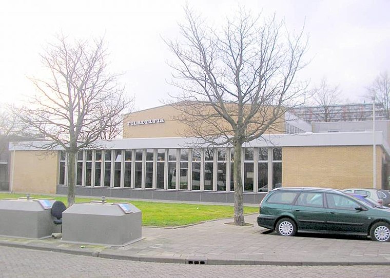
Highlights include Filadelfia and Slinge metro station.
Slinge metro station
Metro station
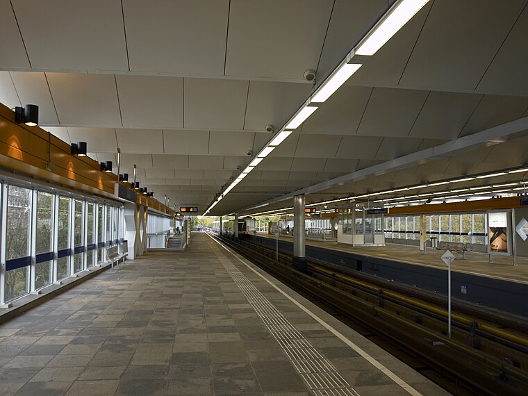
Photo: Yaroslav Blanter, CC BY-SA 3.0.
Slinge is an above-ground subway station in the south of the city of Rotterdam. It is part of Rotterdam Metro lines D and E. Slinge is the southern terminus of line E, while line D trains continue towards De Akkers station.
Zuiderpark
Park

Photo: Advance, CC BY-SA 3.0.
The Zuiderpark is a city park in the Rotterdam neighbourhood of Charlois.
Places in the Area
Nearby places include Zuidwijk and Pendrecht.
Zuidwijk
Quarter
Charlois is a neighbourhood of the Dutch city of Rotterdam. It is located on the south bank of the Nieuwe Maas. Charlois used to be a separate municipality until 1895, when it became part of Rotterdam.
Pendrecht
Quarter

Photo: Wikimedia, CC BY-SA 4.0.
Pendrecht is a neighborhood in Rotterdam, Netherlands. In 2009 Eberhard van der Laan, the Minister of Housing, referred to the neighborhood as the second worst in his "40 problem neighbourhoods" list.
Charlois
Suburb
Charlois is a neighbourhood of the Dutch city of Rotterdam. It is located on the south bank of the Nieuwe Maas. Charlois used to be a separate municipality until 1895, when it became part of Rotterdam.
Lo’s
- Type: Neighborhood
- Category: locality
- Location: Rotterdam, Rotterdam-The Hague Metropolitan Region, South Holland, Western Netherlands, Netherlands, Benelux, Europe
- View on OpenStreetMap
Latitude
51.87523° or 51° 52′ 31″ northLongitude
4.48149° or 4° 28′ 53″ eastOpen location code
9F36VFGJ+3HOpenStreetMap ID
node 8656185234OpenStreetMap feature
place=neighbourhood
This page is based on OpenStreetMap, Wikidata, and Wikimedia Commons.
We’d love your help improving our open data sources. Thank you for contributing.
Satellite Map
Discover Lo’s from above in high-definition satellite imagery.
Places with the Same Name
Discover other places named “Lo’s”.
Localities in the Area
Explore places such as Steinen and Velden.
Notable Places Nearby
Highlights include Politiebureau Slinge and Slinge Public Library.
Rotterdam: Must-Visit Destinations
Delve into Centrum, Capelle en Noordoost, Albrandswaard, and Port of Rotterdam.
Curious Neighborhoods to Discover
Uncover intriguing neighborhoods from every corner of the globe.
About Mapcarta. Data © OpenStreetMap contributors and available under the Open Database License". Text is available under the CC BY-SA 4.0 license, except for photos, directions, and the map. Photo: Wikimedia, CC BY 3.0.