Klantadokki
Klantadokki is a locality in Aurland, Western Norway. Klantadokki is situated nearby to the locality Voldadalane, as well as near Tyhagane.| Tap on a place to explore it |
Places of Interest
Highlights include Stegastein and Vangen Church.
Stegastein
Scenic viewpoint
 Stegastein is a scenic overlook on Sogn og Fjordane County Road 243 in Norway. The 30-metre long and 4-metre wide platform of steel and laminated pine overlooks Aurlandsvangen and the Aurlandsfjord. Stegastein is situated 3 km south of Klantadokki.
Vangen Church
Church

Photo: HMPinnsvinet, CC BY-SA 3.0.
Vangen Church is the main parish church in Aurland Municipality in Vestland county, Norway. It is located in the village of Aurlandsvangen, at the end of the Aurlandsfjorden. Vangen Church is situated 3 km south of Klantadokki.
Vangen power station
Power station
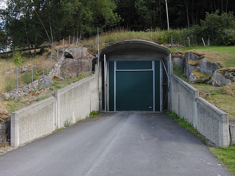
Photo: PeltonMan, CC BY-SA 3.0.
Vangen power station is situated 3½ km south of Klantadokki.
Places in the Area
Nearby places include Flåm.
Flåm

Photo: LASZLO ILYES, CC BY 2.0.
Flåm is a village in Sogn og Fjordane county, at the innermost point of the Aurlandsfjord arm of the Sognefjord. Flåm is among the busiest cruise ports in Norway.
Klantadokki
- Type: Locality
- Category: hill
- Location: Aurland, Western Norway, Norway, Nordic countries, Europe
- View on OpenStreetMap
Latitude
60.93428° or 60° 56′ 3″ northLongitude
7.19576° or 7° 11′ 45″ eastOpen location code
9FG9W5MW+P8OpenStreetMap ID
node 8682284356OpenStreetMap feature
natural=hillOpenStreetMap feature
place=locality
This page is based on OpenStreetMap, Wikidata, and Wikimedia Commons.
We’d love your help improving our open data sources. Thank you for contributing.
Satellite Map
Discover Klantadokki from above in high-definition satellite imagery.
Places with the Same Name
Discover other places named “Klantadokki”.
Localities in the Area
Explore places such as Voldadalane and Tyhagane.
Notable Places Nearby
Highlights include Midtfossen and Voldefossen.
Western Norway: Must-Visit Destinations
Delve into Bergen, Stavanger, Ålesund, and Molde.
Curious Localities to Discover
Uncover intriguing localities from every corner of the globe.
About Mapcarta. Data © OpenStreetMap contributors and available under the Open Database License". Text is available under the CC BY-SA 4.0 license, except for photos, directions, and the map. Photo: Anna Anichkova, CC BY-SA 3.0.