Sofas 4 Less
Sofas 4 Less is a furniture retailer in Contra Costa, California. Sofas 4 Less is situated nearby to Golden Hills Community Church, as well as near Celeste Park.| Tap on a place to explore it |
Places of Interest Nearby
Highlights include Dozier-Libbey Medical High School and Deer Valley High School.
Dozier-Libbey Medical High School
School
Dozier-Libbey Medical High School is a public school located in Antioch, California, with a focus on health and medicine. The school is named for Dr. Thomas Dozier and Dr. Dozier-Libbey Medical High School is situated 2 miles southwest of Sofas 4 Less.
Deer Valley High School
School
Deer Valley High School is a public secondary school in Antioch, California, serving southeast Antioch in Contra Costa County, California. It opened in 1996. Deer Valley High School is situated 2½ miles west of Sofas 4 Less.
Places in the Area
Nearby places include Sand Hill and Oakley.
Sand Hill
Hamlet
Sand Hill is a former unincorporated community now annexed to Oakley in Contra Costa County, California. It lies at an elevation of 43 feet. It is west of Knightsten on the far edge of the county. Sand Hill is situated 2 miles east of Sofas 4 Less.
Oakley
 Oakley is in the east part of Contra Costa County in the San Francisco Bay Area to the east of Antioch.
Brentwood
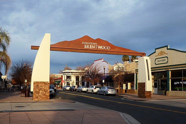 Brentwood is an affluent, suburban city in eastern Contra Costa County, California with a popular downtown for visitors coming from the Sacramento Valley to the county.
Sofas 4 Less
- Type: Furniture retailer
- Category: shop
- Location: Contra Costa, California, United States, North America
- View on OpenStreetMap
Latitude
37.96281° or 37° 57′ 46″ northLongitude
-121.73302° or 121° 43′ 59″ westOpen location code
849WX778+4QOpenStreetMap ID
node 8720257861OpenStreetMap feature
shop=furniture
This page is based on OpenStreetMap, Wikidata, and Wikimedia Commons.
We’d love your help improving our open data sources. Thank you for contributing.
Satellite Map
Discover Sofas 4 Less from above in high-definition satellite imagery.
Places with the Same Name
Discover other places named “Sofas 4 Less”.
Notable Places Nearby
Highlights include Golden Hills Community Church and Celeste Park.
Nearby Places
Explore places such as Lumpy’s Diner and Great Clips.
California: Must-Visit Destinations
Delve into San Francisco, Los Angeles, San Diego, and Sacramento.
Curious Furniture Retailers to Discover
Uncover intriguing furniture retailers from every corner of the globe.
About Mapcarta. Data © OpenStreetMap contributors and available under the Open Database License". Text is available under the CC BY-SA 4.0 license, except for photos, directions, and the map. Photo: Wikimedia, CC0.