Ente Parco Naz. Foreste Casentinese Monte Falterona
Ente Parco Naz. Foreste Casentinese Monte Falterona is a tourism office in Pratovecchio Stia, Arezzo, Tuscany which is located on Via Guido Brocchi. Ente Parco Naz. Foreste Casentinese Monte Falterona is situated nearby to the square Piazza Jacopo Landino, as well as near the convention center Sala Del Cenacolo.| Tap on a place to explore it |
Places of Interest Nearby
Highlights include Propositura del Santissimo Nome di Gesù and Pratovecchio Stia railway station.

Pratovecchio Stia railway station
Railway station

Photo: Klockarnils, CC BY-SA 3.0.
Pratovecchio Stia railway station is situated 1 km northwest of Ente Parco Naz. Foreste Casentinese Monte Falterona.
Castello di Romena
Castle

Photo: Sailko, CC BY-SA 4.0.
Castello di Romena is a castle, which is situated 1 km southwest of Ente Parco Naz. Foreste Casentinese Monte Falterona.
Places in the Area
Nearby places include Pratovecchio and Stia.
Pratovecchio
Village
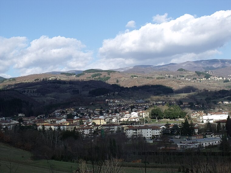 Pratovecchio Stia is a comune in the province of Arezzo, Tuscany. It was formed by the merger of the two former comuni of Pratovecchio and Stia in 2014.
Stia
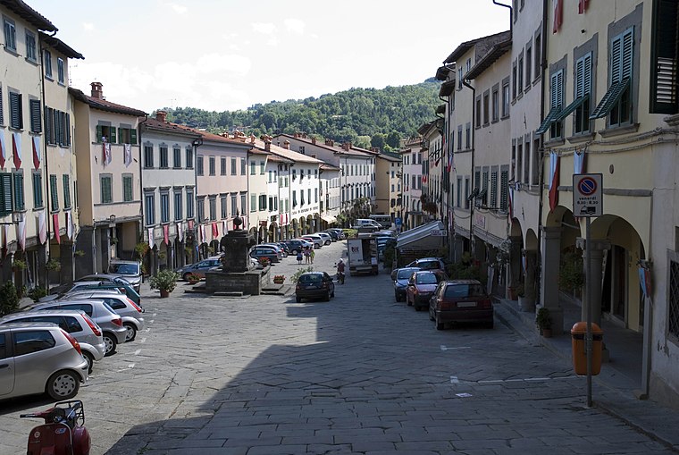
Photo: Vignaccia76, CC BY-SA 3.0.
Stia is a frazione of the comune of Pratovecchio Stia in the Province of Arezzo in the Italian region Tuscany, located about 40 kilometres east of Florence and about 40 kilometres northwest of Arezzo.
Borgo alla Collina
Hamlet

Photo: LigaDue, CC BY-SA 4.0.
Borgo alla Collina is a hamlet, which is situated 4½ km south of Ente Parco Naz. Foreste Casentinese Monte Falterona.
Ente Parco Naz. Foreste Casentinese Monte Falterona
- Type: Tourism office
- Address: Via Guido Brocchi 7, Pratovecchio, 52015
- Categories: information and tourism
- Location: Pratovecchio Stia, Arezzo, Tuscany, Central Italy, Italy, Europe
- View on OpenStreetMap
Latitude
43.78859° or 43° 47′ 19″ northLongitude
11.72065° or 11° 43′ 14″ eastOpen location code
8FMHQPQC+C7OpenStreetMap ID
node 8838051255OpenStreetMap feature
tourism=information
This page is based on OpenStreetMap, Wikidata, and Wikimedia Commons.
We’d love your help improving our open data sources. Thank you for contributing.
Satellite Map
Discover Ente Parco Naz. Foreste Casentinese Monte Falterona from above in high-definition satellite imagery.
Notable Places Nearby
Highlights include Piazza Jacopo Landino and Sala Del Cenacolo.
Nearby Places
Explore places such as B&B Casa Landino and Misericordia Mezzi Soccorso.
Arezzo: Must-Visit Destinations
Delve into Arezzo, Cortona, Poppi, and Montevarchi.
Curious Tourism Offices to Discover
Uncover intriguing tourism offices from every corner of the globe.
About Mapcarta. Data © OpenStreetMap contributors and available under the Open Database License". Text is available under the CC BY-SA 4.0 license, except for photos, directions, and the map. Photo: Wikimedia, CC0.