Starbox Café
Starbox Café is a café in Ivry-sur-Seine, Arrondissement of L’Haÿ-les-Roses, Île-de-France. Starbox Café is situated nearby to the hospital Pôle Santé Ivrymed, as well as near the post office Bureau de Poste de Ivry Plateau.| Tap on a place to explore it |
Places of Interest Nearby
Highlights include Institut polytechnique des sciences avancées and Église Saint Jean-Baptiste du Plateau.
Institut polytechnique des sciences avancées
College

Photo: YtoSu, CC BY-SA 4.0.
The Institut Polytechnique des Sciences Avancées, is a French private grande école in aerospace engineering located at Ivry-sur-Seine, Lyon and Toulouse, recognized by the French state since 2010, whose diploma has been accredited by the French Commission des Titres d'Ingénieur since 2011. Institut polytechnique des sciences avancées is situated 1½ km northeast of Starbox Café.
Église Saint Jean-Baptiste du Plateau
Church

Photo: Chabe01, CC BY-SA 4.0.
Église Saint Jean-Baptiste du Plateau is a church, which is situated 210 metres southeast of Starbox Café.
La Briqueterie
Tram stop

Photo: Chabe01, CC BY-SA 4.0.
La Briqueterie is a tram stop, which is situated 230 metres northwest of Starbox Café.
Places in the Area
Nearby places include Ivry-sur-Seine and Le Kremlin-Bicêtre.
Ivry-sur-Seine
Town
 Ivry-sur-Seine is a commune in the Val-de-Marne department in the southeastern suburbs of Paris, France. It is located 5.3 km from the centre of Paris.
Le Kremlin-Bicêtre
Town

Photo: Chabe01, CC BY-SA 4.0.
Le Kremlin-Bicêtre is a commune in the southern suburbs of Paris, France. It is 4.5 km from the center of Paris. It is one of the most densely populated municipalities in Europe.
Villejuif
Town
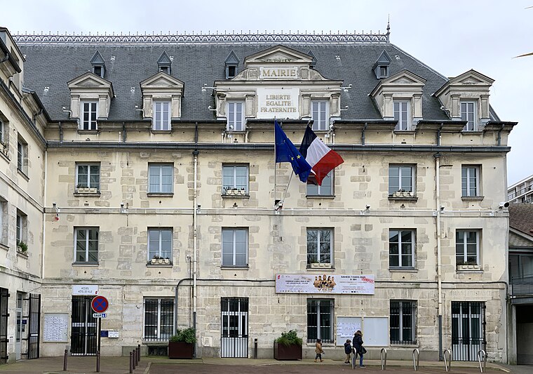
Photo: Chabe01, CC BY-SA 4.0.
Villejuif is a commune in the southern suburbs of Paris, France. It is located 7 km from the centre of Paris.
Starbox Café
- Type: Café
- Location: Ivry-sur-Seine, Arrondissement of L’Haÿ-les-Roses, Val-de-Marne, Île-de-France, France, Europe
- View on OpenStreetMap
Latitude
48.80551° or 48° 48′ 20″ northLongitude
2.3766° or 2° 22′ 36″ eastOpen location code
8FW4R94G+6JOpenStreetMap ID
node 8860878650OpenStreetMap feature
amenity=cafe
This page is based on OpenStreetMap, Wikidata, and Wikimedia Commons.
We’d love your help improving our open data sources. Thank you for contributing.
Satellite Map
Discover Starbox Café from above in high-definition satellite imagery.
Notable Places Nearby
Highlights include Pôle Santé Ivrymed and Bureau de Poste de Ivry Plateau.
Nearby Places
Explore places such as Pharmacie de la POSTE and Shinjuku.
Île-de-France: Must-Visit Destinations
Delve into Paris, Versailles, Boulogne-Billancourt, and Paris Charles de Gaulle Airport.
Curious Cafés to Discover
Uncover intriguing cafés from every corner of the globe.
About Mapcarta. Data © OpenStreetMap contributors and available under the Open Database License". Text is available under the CC BY-SA 4.0 license, except for photos, directions, and the map. Photo: Guillaume Baviere, CC BY 2.0.