Pécskő
Pécskő is a suburb in Nógrád County, Northern Hungary. Pécskő is situated nearby to the suburb Barackos, as well as near Szilvás.| Tap on a place to explore it |
Places of Interest
Highlights include József Attila Cultural and Conference Centre and Salgótarján railway station.
József Attila Cultural and Conference Centre
Community center

Photo: Packa, CC BY-SA 2.5.
József Attila Cultural and Conference Centre is a community center.
Salgótarján railway station
Railway stop

Photo: Rakás, CC BY-SA 4.0.
Salgótarján railway station is a railway stop.
Salgótarjáni Bolyai János Gimnázium
School building

Photo: Bengalitigris, CC BY-SA 4.0.
Salgótarjáni Bolyai János Gimnázium is a school building.
Places in the Area
Nearby places include Salgótarján and Kisterenye.
Salgótarján

Photo: Packa, CC BY-SA 2.5.
Salgótarján is the county seat and largest city in Nógrád county, Hungary. Once a small mining town, the city was built in a very modern communist style, leaving much to be desired in terms of classical architecture.
Kisterenye
Suburb
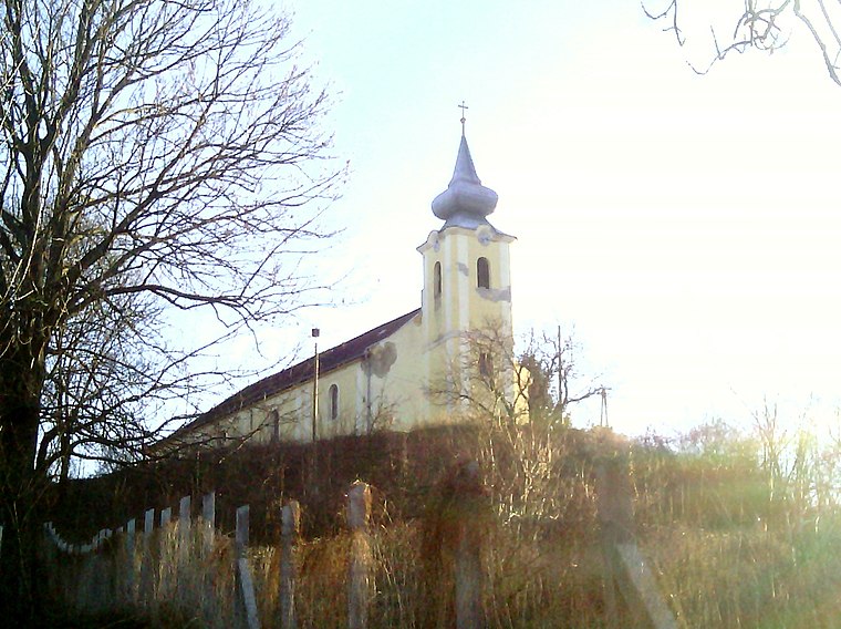
Photo: Rakás, CC BY-SA 4.0.
Kisterenye is a suburb, which is situated 9 km south of Pécskő.
Šiatorská Bukovinka
Village
 Šiatorská Bukovinka is a village and municipality in the Lučenec District in the Banská Bystrica Region of Slovakia. Šiatorská Bukovinka is situated 10 km north of Pécskő.
Pécskő
- Type: Suburb
- Category: locality
- Location: Nógrád County, Northern Hungary, Hungary, Central Europe, Europe
- View on OpenStreetMap
Latitude
48.09746° or 48° 5′ 51″ northLongitude
19.82901° or 19° 49′ 44″ eastOpen location code
8FWX3RWH+XJOpenStreetMap ID
node 8862550782OpenStreetMap feature
place=suburb
This page is based on OpenStreetMap, Wikidata, and Wikimedia Commons.
We’d love your help improving our open data sources. Thank you for contributing.
Satellite Map
Discover Pécskő from above in high-definition satellite imagery.
Localities in the Area
Explore places such as Barackos and Szilvás.
Notable Places Nearby
Highlights include Pécskő-forrás and időszakos forrás.
Nógrád County: Must-Visit Destinations
Delve into Salgótarján, Hollókő, Balassagyarmat, and Szécsény.
Curious Suburbs to Discover
Uncover intriguing suburbs from every corner of the globe.
About Mapcarta. Data © OpenStreetMap contributors and available under the Open Database License". Text is available under the CC BY-SA 4.0 license, except for photos, directions, and the map. Photo: Pe-Jo, CC BY-SA 3.0.