Κόκκινος Λόφος
Κόκκινος Λόφος is a peak in Oraiokastro, Thessaloniki, Central Macedonia and has an elevation of 223 metres. Κόκκινος Λόφος is situated nearby to the locality Τρίγλια, as well as near the neighborhood Traumatioupoli.| Tap on a place to explore it |
Places of Interest
Highlights include Makedonikos Stadium.
Makedonikos Stadium
Stadium

Photo: Dimth, CC BY-SA 4.0.
Makedonikos Stadium is a football stadium located in Efkarpia, Thessaloniki, Greece. It is home to Makedonikos football club. The stadium was also used by Iraklis FC for two seasons when the Kaftanzoglio Stadium was under renovation for Athens 2004 Olympics.
Places in the Area
Nearby places include Polichni and Evosmos.
Polichni
Suburb
Polichni is a suburb of the Thessaloniki Urban Area and was a former municipality in the regional unit of Thessaloniki, Macedonia, Greece. Since the 2011 local government reform, it is part of the municipality Pavlos Melas, of which it is a municipal unit.
Evosmos
Suburb
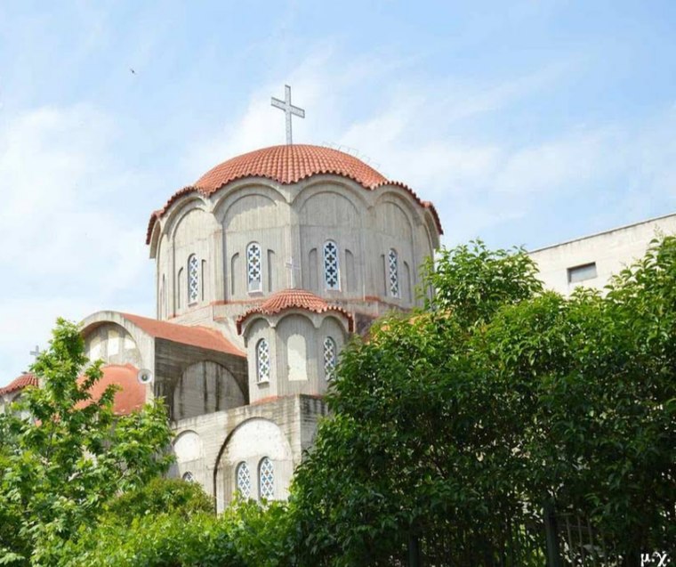
Photo: Jerotheo, CC BY-SA 4.0.
Evosmos is a suburb of the Thessaloniki Urban Area and was a former municipality in the regional unit of Thessaloniki, Macedonia, Greece. Since the 2011 local government reform it is part of the municipality Kordelio-Evosmos, of which it is the seat and a municipal unit.
Stavroupoli
Suburb

Photo: Morphosis, Public domain.
Stavroupoli is a suburb of the Thessaloniki Urban Area and a former municipality in the regional unit of Thessaloniki, Greece. Since the 2011 local government reform it has been part of the Pavlos Melas Municipality, of which it is the seat and a municipal unit.
Κόκκινος Λόφος
- Type: Peak with an elevation of 223 metres
- Category: landform
- Location: Oraiokastro, Thessaloniki, Central Macedonia, Greece, Balkans, Europe
- View on OpenStreetMap
Latitude
40.7027° or 40° 42′ 10″ northLongitude
22.9616° or 22° 57′ 42″ eastElevation
223 metres (732 feet)Open location code
8GG4PX36+3JOpenStreetMap ID
node 8880019313OpenStreetMap feature
natural=peak
This page is based on OpenStreetMap, Wikidata, and Wikimedia Commons.
We’d love your help improving our open data sources. Thank you for contributing.
Satellite Map
Discover Κόκκινος Λόφος from above in high-definition satellite imagery.
Localities in the Area
Explore places such as Τρίγλια and Traumatioupoli.
Notable Places Nearby
Highlights include Holy Trinity Monastery and Αγίασμα Αγίου Ιωάννη του Προδρόμου.
Greece: Must-Visit Destinations
Delve into Athens, Thessaloniki, Lesvos, and Arcadia.
Curious Peaks to Discover
Uncover intriguing peaks from every corner of the globe.
About Mapcarta. Data © OpenStreetMap contributors and available under the Open Database License". Text is available under the CC BY-SA 4.0 license, except for photos, directions, and the map. Photo: Wikimedia, CC0.