Le Gué Charreau
Le Gué Charreau is a hamlet in Saint-Germain-de-Marencennes, Arrondissement of Rochefort, Nouvelle-Aquitaine. Le Gué Charreau is situated nearby to the hamlet Le Petit Gué Charreau, as well as near Chaban.| Tap on a place to explore it |
Places of Interest
Highlights include Église Saint-Pierre de Landrais and Église Saint-Sixte de Muron.
Église Saint-Pierre de Landrais
Church

Photo: Piso17, CC BY-SA 4.0.
Église Saint-Pierre de Landrais is a church.
Église Saint-Sixte de Muron
Church

Photo: Bastien.pierre, CC BY-SA 3.0.
Église Saint-Sixte de Muron is a church.
Dolmen de la Pierre Levée (Ardillières)
Archaeological site
 Dolmen de la Pierre Levée (Ardillières) is an archaeological site, which is situated 3 km west of Le Gué Charreau.
Places in the Area
Nearby places include Surgères and Aigrefeuille-d’Aunis.
Surgères
Town

Photo: Serge Lacotte, CC BY-SA 3.0.
Surgères is a commune in the Charente-Maritime department, southwestern France. It is the home of the Surgères 48 Hour Race. Surgères is situated 9 km northeast of Le Gué Charreau.
Aigrefeuille-d’Aunis
Village
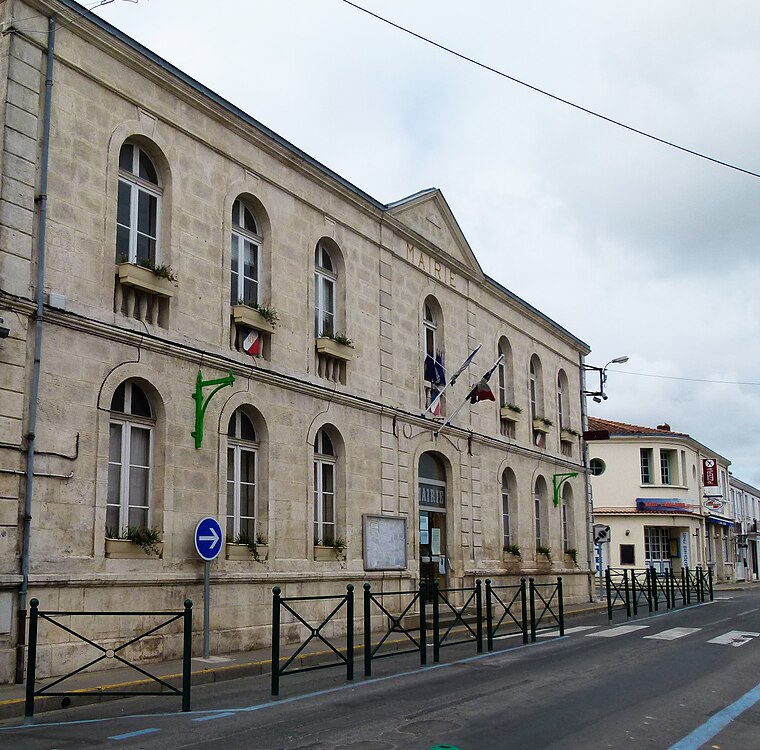
Photo: Serge Lacotte, CC BY-SA 3.0.
Aigrefeuille-d'Aunis is a commune in the Charente-Maritime department in the Nouvelle-Aquitaine region of south-western France. By population as well as by economic weight, it is one of the three main urban centres of the Pays d'Aunis along with Surgères and Marans. Aigrefeuille-d’Aunis is situated 10 km northwest of Le Gué Charreau.
Loire-les-Marais
Village

Photo: Symac, CC BY-SA 3.0.
Loire-les-Marais is a commune in the Charente-Maritime department in southwestern France. Loire-les-Marais is situated 10 km southwest of Le Gué Charreau.
Le Gué Charreau
- Type: Hamlet
- Category: locality
- Location: Saint-Germain-de-Marencennes, Arrondissement of Rochefort, Charente-Maritime, Nouvelle-Aquitaine, France, Europe
- View on OpenStreetMap
Latitude
46.05625° or 46° 3′ 23″ northLongitude
-0.83989° or 0° 50′ 24″ westOpen location code
8CRX3546+G2OpenStreetMap ID
node 889290610OpenStreetMap feature
place=hamlet
This page is based on OpenStreetMap, Wikidata, and Wikimedia Commons.
We’d love your help improving our open data sources. Thank you for contributing.
Satellite Map
Discover Le Gué Charreau from above in high-definition satellite imagery.
Localities in the Area
Explore places such as Le Petit Gué Charreau and Chaban.
Notable Places Nearby
Highlights include Place des Tilleuls and Poste Annexe.
Charente-Maritime: Must-Visit Destinations
Delve into La Rochelle, Royan, Saintes, and La Tremblade.
Curious Hamlets to Discover
Uncover intriguing hamlets from every corner of the globe.
About Mapcarta. Data © OpenStreetMap contributors and available under the Open Database License". Text is available under the CC BY-SA 4.0 license, except for photos, directions, and the map. Photo: Jpbazard, CC BY-SA 3.0.