John Clare’s grave
John Clare’s grave is in Helpston, Peterborough, England. John Clare’s grave is situated nearby to Church of St Botolph, as well as near the art gallery Annakinn.| Tap on a place to explore it |
Places of Interest Nearby
Highlights include Church of St Botolph and John Clare Cottage.

John Clare Cottage

Photo: Magnus Manske, CC BY-SA 3.0.
John Clare Cottage is a cottage and literary museum in Helpston, Peterborough, United Kingdom. The cottage was the birthplace of English poet John Clare. John Clare Cottage is situated 780 feet south of John Clare’s grave.
Church of St Stephen
Church

Photo: Chris Stafford, CC BY-SA 2.0.
Church of St Stephen is situated 1¼ miles northeast of John Clare’s grave.
Places in the Area
Nearby places include Etton and Ashton.
Etton
Village
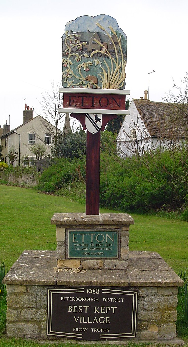
Photo: Uksignpix, CC BY-SA 3.0.
Etton is a village and civil parish in the unitary authority area of the city of Peterborough, Cambridgeshire, in England. For electoral purposes it forms part of Northborough ward in North West Cambridgeshire constituency.
Ashton
Village

Photo: Rodney Burton, CC BY-SA 2.0.
Ashton is a hamlet and former civil parish, now in the parish of Bainton, in the Peterborough district, in the ceremonial county of Cambridgeshire, England. In 1881 the parish had a population of 106.
Maxey
Village

Photo: Rodney Burton, CC BY-SA 2.0.
Maxey is a village in the Peterborough unitary authority, in the ceremonial county of Cambridgeshire, England, located between Peterborough and Stamford and southwest of The Deepings. Maxey is situated 1½ miles north of John Clare’s grave.
John Clare’s grave
- Type: Tourist attraction
- Category: tourism
- Location: Helpston, Peterborough, England, United Kingdom, Britain and Ireland, Europe
- View on OpenStreetMap
Latitude
52.63589° or 52° 38′ 9″ northLongitude
-0.34325° or 0° 20′ 36″ westOpen location code
9C4XJMP4+9POpenStreetMap ID
node 8915670162OpenStreetMap feature
tourism=attraction
This page is based on OpenStreetMap, Wikidata, and Wikimedia Commons.
We’d love your help improving our open data sources. Thank you for contributing.
Satellite Map
Discover John Clare’s grave from above in high-definition satellite imagery.
Notable Places Nearby
Highlights include Annakinn and Helpston Village Hall.
Nearby Places
Explore places such as Cross and Exeter Arms.
England: Must-Visit Destinations
Delve into London, Manchester, Sheffield, and Leeds.
Curious Places to Discover
Uncover intriguing places from every corner of the globe.
About Mapcarta. Data © OpenStreetMap contributors and available under the Open Database License". Text is available under the CC BY-SA 4.0 license, except for photos, directions, and the map. Photo: sidibousaid, CC BY 2.0.