Bonne-Odeur - Willerieken
Bonne-Odeur - Willerieken is a locality in Hainaut, Wallonia. Bonne-Odeur - Willerieken is situated nearby to the locality Varkensgat, as well as near Tambour - Tamboer.| Tap on a place to explore it |
Places of Interest
Highlights include Sonian Forest and Kapel Onze-Lieve-Vrouw Willerieken.
Sonian Forest
 The Sonian Forest to the southeast of Brussels is a vast area of pristine nature dominated by beech and oak trees. It is a paradise for outdoor activities, and a much-needed leisure area where citizens of the crowded city can relax and regain their breath.
Kapel Onze-Lieve-Vrouw Willerieken
Church

Photo: Funkyxian, CC BY-SA 3.0.
Kapel Onze-Lieve-Vrouw Willerieken is a church.

Places in the Area
Nearby places include Groenendaal and Hoeilaart.

Hoeilaart
Town
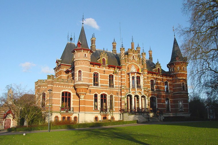
Photo: Wikimedia, CC BY-SA 3.0.
Hoeilaart is a municipality in the province of Flemish Brabant, Belgium. The name Hoeilaart is of Gallic-Celtic origin, coming from "Ho-Lar," meaning a high clearing in the woods.
Jezus-Eik
Hamlet

Photo: Michielverbeek, CC BY-SA 3.0.
Jezus-Eik is a village in the municipality of Overijse in the province of Flemish Brabant, Belgium. Jezus-Eik is situated 2½ km northeast of Bonne-Odeur - Willerieken.
Bonne-Odeur - Willerieken
Latitude
50.78363° or 50° 47′ 1″ northLongitude
4.45187° or 4° 27′ 7″ eastOpen location code
9F26QFM2+FPOpenStreetMap ID
node 8944488410OpenStreetMap feature
place=locality
This page is based on OpenStreetMap, Wikidata, and Wikimedia Commons.
We’d love your help improving our open data sources. Thank you for contributing.
Satellite Map
Discover Bonne-Odeur - Willerieken from above in high-definition satellite imagery.
In Other Languages
From Dutch to French—“Bonne-Odeur - Willerieken” goes by many names.
- Dutch: “Willerieken”
- French: “Bonne-Odeur”
Localities in the Area
Explore places such as Varkensgat and Tambour - Tamboer.
Notable Places Nearby
Highlights include Plaine de Welriekende and Pavillon forestier - Boswachterspavilioen.
Hainaut: Must-Visit Destinations
Delve into Charleroi, Mons, Tournai, and La Louvière.
Curious Localities to Discover
Uncover intriguing localities from every corner of the globe.
About Mapcarta. Data © OpenStreetMap contributors and available under the Open Database License". Text is available under the CC BY-SA 4.0 license, except for photos, directions, and the map. Photo: Jean-Pol GRANDMONT, CC BY-SA 3.0.