Costrería El Sol
Costrería El Sol is in Elche, Costa Blanca, Valencian Community, and is located on Avinguda de la Llibertat. Costrería El Sol is situated nearby to the school Col·legi d’Educació Infantil i Primària Baix Vinalopó, as well as near the garden Jardí de Francisco Fernández Ordóñez.| Tap on a place to explore it |
Places of Interest Nearby
Highlights include Palacio de Altamira and Museu Arqueològic i d’Història d’Elx.
Palacio de Altamira

Photo: Wikimedia, Public domain.
Palacio de Altamira is situated 400 metres southeast of Costrería El Sol.
Museu Arqueològic i d’Història d’Elx
Museum

Photo: Superchilum, CC BY-SA 3.0.
Museu Arqueològic i d’Història d’Elx is a museum, which is situated 440 metres southeast of Costrería El Sol.
Elx Parc train station
Railway station
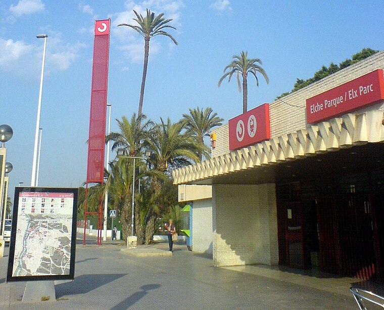
Photo: Josecarlosdiez, CC BY-SA 4.0.
Elx Parc train station is a railway station, which is situated 580 metres east of Costrería El Sol.
Places in the Area
Nearby places include el Raval de Sant Joan and la Foia.
el Raval de Sant Joan
Neighborhood

Photo: Espencat, Public domain.
el Raval de Sant Joan is a neighborhood.
la Foia
Village

Photo: Santi.ibarra, CC BY-SA 4.0.
la Foia is a village, which is situated 7 km south of Costrería El Sol.
Crevillent
Town

Photo: Quesada, CC BY-SA 3.0.
Crevillent is a town and municipality located in the Alicante province, part of the Valencian Community, Spain. It is situated in the comarca of Baix Vinalopó, and lies at the foot of the hill range known locally as Serra de Crevillent. Crevillent is situated 10 km west of Costrería El Sol.
Costrería El Sol
- Type: Catering
- Address: Avinguda de la Llibertat 5
- Category: workshop
- Location: Elche, Costa Blanca, Alicante, Valencian Community, Eastern Spain, Spain, Iberia, Europe
- View on OpenStreetMap
Latitude
38.27072° or 38° 16′ 15″ northLongitude
-0.70158° or 0° 42′ 6″ westOpen location code
8CCX77CX+79OpenStreetMap ID
node 8983681707OpenStreetMap feature
craft=caterer
This page is based on OpenStreetMap, Wikidata, and Wikimedia Commons.
We’d love your help improving our open data sources. Thank you for contributing.
Satellite Map
Discover Costrería El Sol from above in high-definition satellite imagery.
Notable Places Nearby
Highlights include Col·legi d’Educació Infantil i Primària Baix Vinalopó and Jardí de Francisco Fernández Ordóñez.
Nearby Places
Explore places such as Avg. Llibertat, 11 and Hostal María.
Costa Blanca: Must-Visit Destinations
Delve into Alicante, Benidorm, Torrevieja, and Dénia.
Curious Places to Discover
Uncover intriguing places from every corner of the globe.
About Mapcarta. Data © OpenStreetMap contributors and available under the Open Database License". Text is available under the CC BY-SA 4.0 license, except for photos, directions, and the map. Photo: Wikimedia, CC0.