Chien Pendu
Chien Pendu is a locality in Vresse-sur-Semois, Arrondissement de Dinant, Wallonia. Chien Pendu is situated nearby to the locality Rabeaupré, as well as near Hachet.| Tap on a place to explore it |
Places of Interest
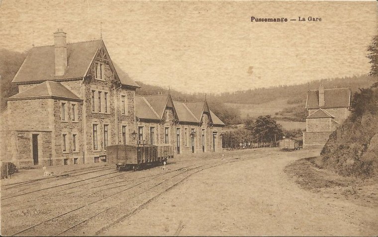
Highlights include Pussemange tram station and Église Saint-Hilaire.

Église Saint-Rémy de Gespunsart
Church
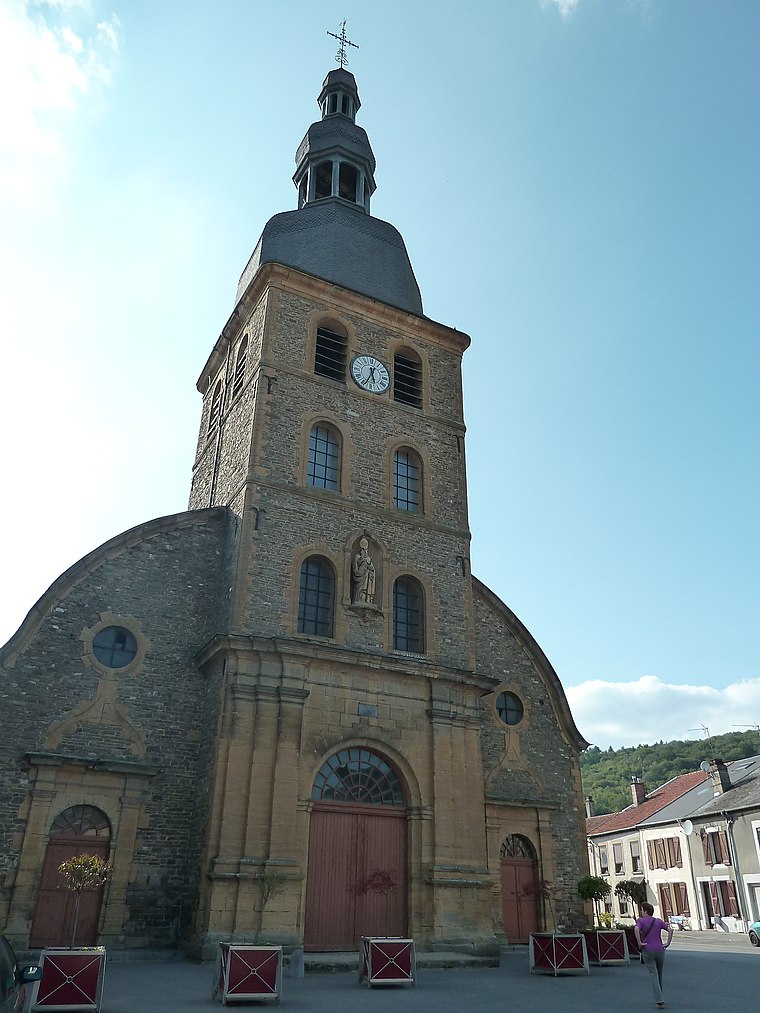
Photo: Adri08, CC BY-SA 3.0.
Église Saint-Rémy de Gespunsart is a church.
Places in the Area
Nearby places include Pussemange and Sugny.

Sugny
Village

Photo: Jean-Pol GRANDMONT, CC BY 2.5.
Sugny is a village, which is situated 3½ km east of Chien Pendu.
Bohan
Village

Photo: Jean-Pol GRANDMONT, CC BY 3.0.
Bohan is a village of Wallonia and a district of Vresse-sur-Semois, located in the province of Namur, Belgium. Most of the buildings in the village date from the 18th & 19th centuries. Bohan is situated 6 km northeast of Chien Pendu.
Chien Pendu
- Type: Locality
- Location: Vresse-sur-Semois, Arrondissement de Dinant, Namur, Wallonia, Belgium, Benelux, Europe
- View on OpenStreetMap
Latitude
49.81796° or 49° 49′ 5″ northLongitude
4.85168° or 4° 51′ 6″ eastOpen location code
8FX6RV92+5MOpenStreetMap ID
node 9007702944OpenStreetMap feature
place=locality
This page is based on OpenStreetMap, Wikidata, and Wikimedia Commons.
We’d love your help improving our open data sources. Thank you for contributing.
Satellite Map
Discover Chien Pendu from above in high-definition satellite imagery.
Localities in the Area
Explore places such as Rabeaupré and Hachet.
Notable Places Nearby
Highlights include Arbre mort and Cimetière derrière les Granges.
Curious Localities to Discover
Uncover intriguing localities from every corner of the globe.
About Mapcarta. Data © OpenStreetMap contributors and available under the Open Database License". Text is available under the CC BY-SA 4.0 license, except for photos, directions, and the map. Photo: Zairon, CC BY-SA 4.0.