Dizedon
Dizedon is a hamlet in Merpins, Arrondissement of Cognac, Nouvelle-Aquitaine. Dizedon is situated nearby to the locality La Pierre Levée, as well as near the hamlet Tout-Blanc.| Tap on a place to explore it |
Places of Interest
Highlights include Cognac – Châteaubernard Air Base and Gare de Cognac.
Cognac – Châteaubernard Air Base
Aerodrome
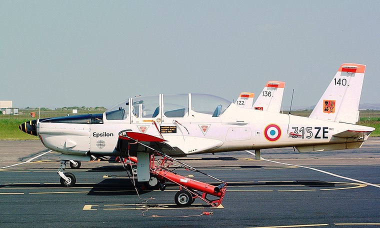
Photo: Jerry Gunner, CC BY 2.0.
Cognac – Châteaubernard Air Base is a base of the French Air and Space Force located in Châteaubernard, 2.8 kilometres south of Cognac. Both locations are communes of the Charente département in the Nouvelle-Aquitaine région of France.

Église Saint-Martin de Cognac
Church

Photo: Père Igor, CC BY-SA 4.0.
Église Saint-Martin de Cognac is a church.
Places in the Area
Nearby places include Cognac.
Cognac
Town

Photo: Misssoleil, CC BY-SA 3.0.
Cognac is a commune in the Charente department, southwestern France. Administratively, the commune of Cognac is a subprefecture of the Charente department. Cognac is situated 3 km north of Dizedon.
Dizedon
- Type: Hamlet
- Category: locality
- Location: Merpins, Arrondissement of Cognac, Charente, Nouvelle-Aquitaine, France, Europe
- View on OpenStreetMap
Latitude
45.66765° or 45° 40′ 4″ northLongitude
-0.33459° or 0° 20′ 5″ westOpen location code
8CQXMM98+35OpenStreetMap ID
node 900823803OpenStreetMap feature
place=hamlet
This page is based on OpenStreetMap, Wikidata, and Wikimedia Commons.
We’d love your help improving our open data sources. Thank you for contributing.
Satellite Map
Discover Dizedon from above in high-definition satellite imagery.
Localities in the Area
Explore places such as La Pierre Levée and Tout-Blanc.
Notable Places Nearby
Highlights include Dolmen de la Pierre Levée and Stade des Verriers.
Nouvelle-Aquitaine: Must-Visit Destinations
Delve into Bordeaux, Deux-Sèvres, Poitiers, and Limoges.
Curious Hamlets to Discover
Uncover intriguing hamlets from every corner of the globe.
About Mapcarta. Data © OpenStreetMap contributors and available under the Open Database License". Text is available under the CC BY-SA 4.0 license, except for photos, directions, and the map. Photo: JLPC, CC BY-SA 3.0.