Friterie Strauven
Friterie Strauven is a fast food restaurant in Oupeye, Liège, Wallonia. Friterie Strauven is situated nearby to the community center Salle les Vrais Amis, as well as near Locaux Paroissiaux.| Tap on a place to explore it |
Places of Interest Nearby
Highlights include Saint Simon Church and Sint-Remigiuskerk.
Saint Simon Church
Church

Photo: Sonuwe, CC BY-SA 3.0.
Saint Simon Church is situated 150 metres north of Friterie Strauven.
Sint-Remigiuskerk
Church

Photo: Sonuwe, CC BY-SA 3.0.
Sint-Remigiuskerk is a church, which is situated 2½ km northwest of Friterie Strauven.
Church of Saint-Pierre
Church
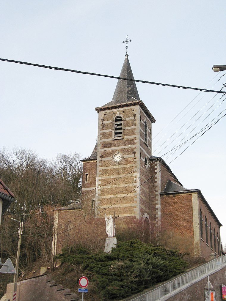
Photo: Sonuwe, CC BY-SA 3.0.
Church of Saint-Pierre is situated 2½ km north of Friterie Strauven.
Places in the Area
Nearby places include Bassenge and Boirs.
Bassenge
Village

Photo: Scargill, CC BY-SA 3.0.
Bassenge is a municipality of Wallonia located in the province of liège, Belgium. On 1 January 2006 Bassenge had a total population of 8,335. The total area is 38.17 km.
Boirs
Village
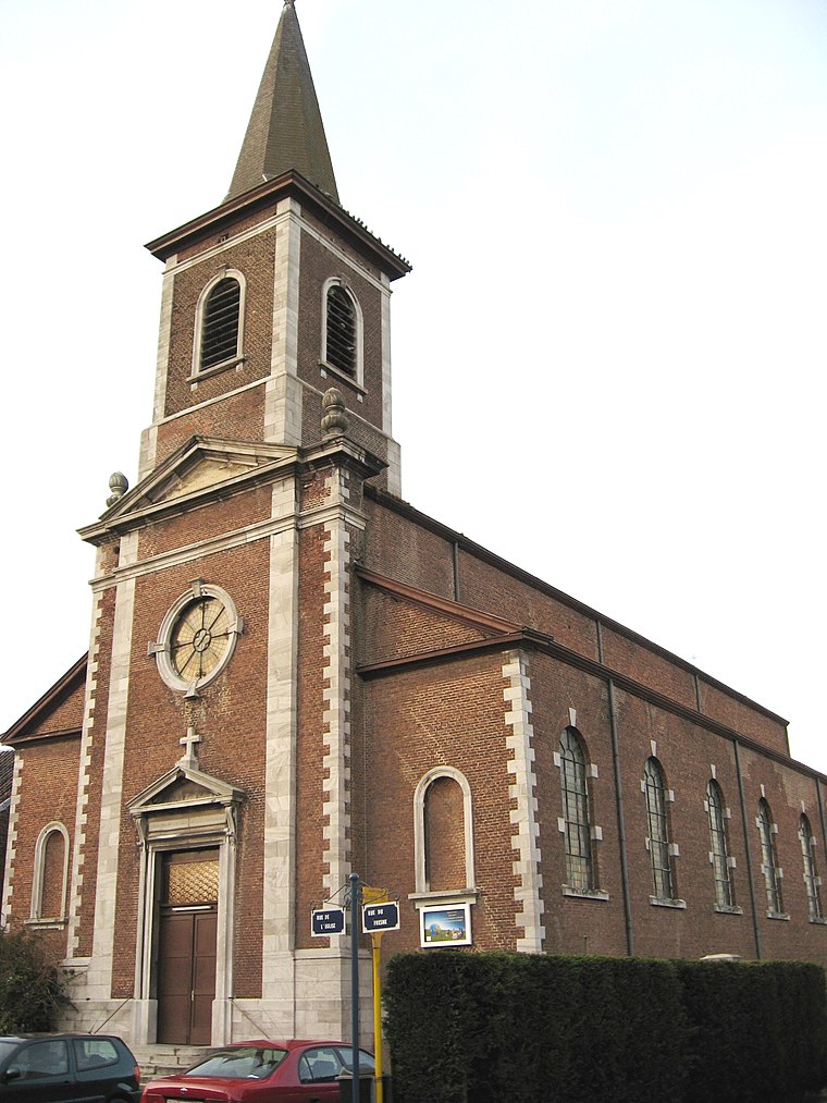
Photo: Sonuwe, CC BY-SA 3.0.
Boirs is a village, which is situated 2½ km northwest of Friterie Strauven.
Glons
Village

Photo: Michielverbeek, CC BY-SA 3.0.
Glons is a village of Wallonia and a district of the municipality of Bassenge, located in the province of Liège, Belgium. Glons is a significant site in that it is the home of the NATO Programming Centre. Glons is situated 5 km west of Friterie Strauven.
Friterie Strauven
- Type: Fast food restaurant
- Cuisine: friture
- Categories: food and restaurant
- Location: Oupeye, Liège, Liège, Wallonia, Belgium, Benelux, Europe
- View on OpenStreetMap
Latitude
50.73779° or 50° 44′ 16″ northLongitude
5.60988° or 5° 36′ 36″ eastOpen location code
9F27PJQ5+4XOpenStreetMap ID
node 9014355170OpenStreetMap feature
amenity=fast_foodOpenStreetMap attribute
cuisine=friture
This page is based on OpenStreetMap, Wikidata, and Wikimedia Commons.
We’d love your help improving our open data sources. Thank you for contributing.
Satellite Map
Discover Friterie Strauven from above in high-definition satellite imagery.
Notable Places Nearby
Highlights include Salle les Vrais Amis and Locaux Paroissiaux.
Nearby Places
Explore places such as Librairie Houthein and EFC Houtain-Saint-Siméon.
Curious Fast Food Restaurants to Discover
Uncover intriguing fast food restaurants from every corner of the globe.
About Mapcarta. Data © OpenStreetMap contributors and available under the Open Database License". Text is available under the CC BY-SA 4.0 license, except for photos, directions, and the map. Photo: A.Savin, CC BY-SA 3.0.