番禺区交通运输局
番禺区交通运输局 is a government office in Guangzhou Shi, Guangdong which is located on 德胜路. 番禺区交通运输局 is situated nearby to the government office 广州市生态环境局番禺分局, as well as near 番禺区人力资源和社会保障局.| Tap on a place to explore it |
- Opening hours:
Monday—Friday: 8:30 AM—11:30 AM and 1:30 PM—5:30 PM
public holidays: closed - Email: pyjtysj@panyu.gov.cn
- Type: Government office
- Address: 德胜路 1号, 广州市, 市桥街道, 番禺区, 广东省
Places of Interest Nearby
Highlights include Henry Fok Stadium and Shiqiao.
Henry Fok Stadium
Stadium
Henry Fok Stadium is a multi-purpose stadium in Panyu, China. It is currently used mostly for football matches and was one of the six stadiums used for the 1991 FIFA Women's World Cup. Henry Fok Stadium is situated 1½ km west of 番禺区交通运输局.
Shiqiao
Railway station

Photo: Nissangeniss, CC BY-SA 4.0.
Shiqiao Station is a station of Line 3 of the Guangzhou Metro. It started operations on 28 December 2006. It is located at the underground of the junction of Guangming Road North and Qiaoxing Avenue, Shiqiao Subdistrict, in Panyu District, Guangzhou. Shiqiao is situated 1½ km northwest of 番禺区交通运输局.
Panyu Square
Metro station

Photo: Nissangeniss, CC BY-SA 4.0.
Panyu Square station is an interchange station between Line 3, Line 18 and Line 22 of the Guangzhou Metro. Line 3 started operation on December 30, 2006, Line 18 started operation on September 28, 2021 and Line 22 started operation on March 31, 2022. Panyu Square is situated 1¼ km east of 番禺区交通运输局.
Places in the Area
Nearby places include Panyu and Nansha and Shiqiao Sub-District.
Panyu and Nansha
 Panyu and Nansha are two districts of Guangzhou in China's Guangdong province, and within the Pearl River Delta.
Shiqiao Sub-District
Suburb

Photo: Memes, CC BY-SA 3.0.
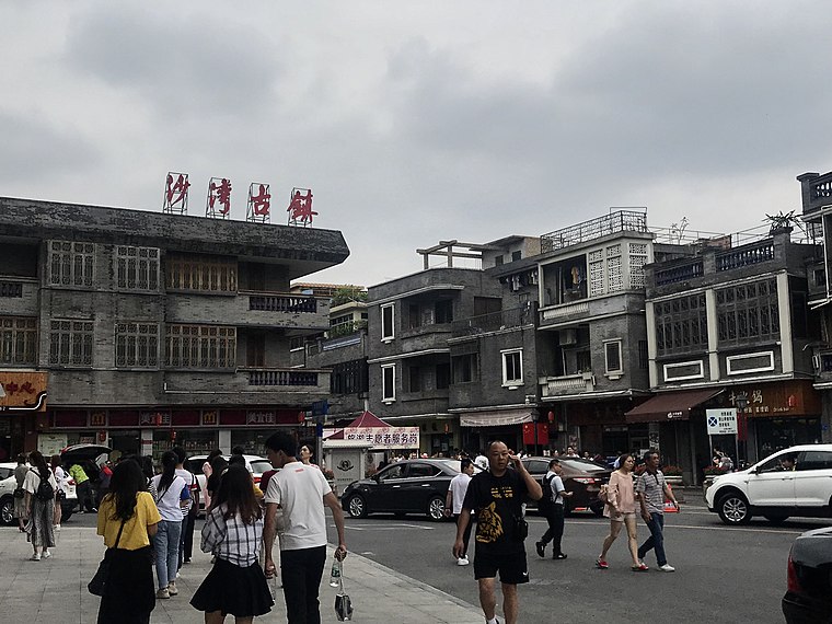
Shiqiao is a Subdistrict of Panyu District, Guangzhou, Guangdong Province. It lies at the heart of Panyu, covers an area of 11.35 square km, and has a population of more than 280,000.
Shawan Ancient Town
Suburb
 Shawan Ancient Town is an 800-year-old town located in the Panyu District of Guangzhou in southern China, founded during the Song dynasty. It is traditionally linked to the historical and folk Lingan culture. Shawan Ancient Town is situated 4½ km southwest of 番禺区交通运输局.
番禺区交通运输局
- Categories: office and government building
- Location: Guangzhou Shi, Guangdong, South China, China, East Asia, Asia
- View on OpenStreetMap
Latitude
22.94115° or 22° 56′ 28″ northLongitude
113.36778° or 113° 22′ 4″ eastOpen location code
7PJMW9R9+F4OpenStreetMap ID
node 9014930802OpenStreetMap feature
office=government
This page is based on OpenStreetMap, Wikidata, and Wikimedia Commons.
We’d love your help improving our open data sources. Thank you for contributing.
Satellite Map
Discover 番禺区交通运输局 from above in high-definition satellite imagery.
Notable Places Nearby
Highlights include 广州市生态环境局番禺分局 and 番禺区人力资源和社会保障局.
Nearby Places
Explore places such as 番禺交通大厦 and Traffic Building.
Guangdong: Must-Visit Destinations
Delve into Guangzhou, Shenzhen, Zhuhai, and Dongguan.
Curious Government Offices to Discover
Uncover intriguing government offices from every corner of the globe.
About Mapcarta. Data © OpenStreetMap contributors and available under the Open Database License". Text is available under the CC BY-SA 4.0 license, except for photos, directions, and the map. Photo: sullivanng, CC BY-SA 2.0.