Torridge Way
Torridge Way is a bus stop in Plymouth, England. Torridge Way is situated nearby to Efford Library, as well as near High View School.| Tap on a place to explore it |
Places of Interest Nearby
Highlights include Efford Library and Fort Efford.

Fort Efford
Fort

Photo: Derek Harper, CC BY-SA 2.0.
Fort Efford is a former 19th-century Fort, built as a result of the Royal Commission on National Defence of 1859. It was built to defend the landward approaches to the North East of Plymouth. Fort Efford is situated 4,100 feet east of Torridge Way.
Lipson Co-operative Academy
School
Lipson Co-operative Academy is a coeducational secondary school and sixth form with academy status, located in the Lipson area of Plymouth in the English county of Devon. Lipson Co-operative Academy is situated 2,400 feet south of Torridge Way.
Places in the Area
Nearby places include Efford and Laira.
Efford
Suburb

Photo: Derek Harper, CC BY-SA 2.0.
Efford is an historic manor formerly in the parish of Eggbuckland, Devon, England. Today it has been absorbed by the city of Plymouth to become a large, mostly post-World War II, eastern suburb of the city.
Laira
Suburb

Photo: Tony Atkin, CC BY-SA 2.0.
Laira – previously recorded as Lare, Lary poynte, the Leerie, and the Lairy – was originally the name given to that part of the estuary of the River Plym from the Cattewater up to Marsh Mills in Plymouth, Devon, England.
Mannamead
Suburb
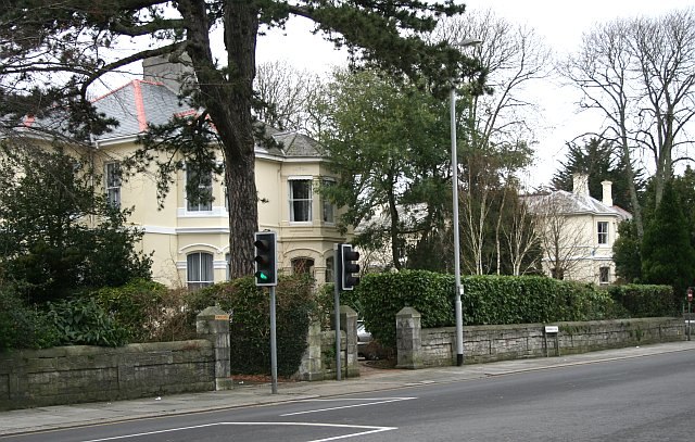
Photo: Tony Atkin, CC BY-SA 2.0.
Mannamead is a leafy suburb in the Compton ward of the city of Plymouth in the county of Devon, England. It was an affluent Victorian and early Edwardian suburb with wide avenues such as Seymour Road, grand villas and Thorn Park.
Torridge Way
- Type: Bus stop
- Category: transportation
- Location: Plymouth, England, United Kingdom, Britain and Ireland, Europe
- View on OpenStreetMap
Latitude
50.38804° or 50° 23′ 17″ northLongitude
-4.1097° or 4° 6′ 35″ westOpen location code
9C2Q9VQR+64OpenStreetMap ID
node 9020246506OpenStreetMap feature
highway=bus_stopOpenStreetMap feature
public_transport=platform
This page is based on OpenStreetMap, Wikidata, and Wikimedia Commons.
We’d love your help improving our open data sources. Thank you for contributing.
Satellite Map
Discover Torridge Way from above in high-definition satellite imagery.
Notable Places Nearby
Highlights include High View School and Torridge Way Post Office.
Nearby Places
Explore places such as St Paul’s Church and Fish and Chips.
England: Must-Visit Destinations
Delve into London, Manchester, Sheffield, and Leeds.
Curious Bus Stops to Discover
Uncover intriguing bus stops from every corner of the globe.
About Mapcarta. Data © OpenStreetMap contributors and available under the Open Database License". Text is available under the CC BY-SA 4.0 license, except for photos, directions, and the map. Photo: Smalljim, CC BY 3.0.