Colonia José María Morelos y Pavón
Colonia José María Morelos y Pavón is a neighborhood in Mexico City, Central Mexico. Colonia José María Morelos y Pavón is situated nearby to the neighborhood El Paraíso, as well as near Ejército de Oriente Zona Peñón.| Tap on a place to explore it |
Places of Interest
Highlights include Peñón Viejo metro station and Guelatao metro station.
Peñón Viejo metro station
Metro station
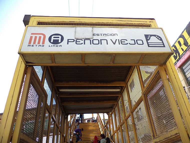
Photo: GAED, CC BY-SA 3.0.
Peñon Viejo is a station along Line A of the Mexico City Metro. It is located in the Colonia Santa Martha Acatitla Norte and Colonia Santa Martha Acatitla Sur neighborhoods of the Iztapalapa borough of Mexico City.
Guelatao metro station
Metro station

Photo: Dge, CC BY-SA 3.0.
Guelatao metro station is a Mexico City Metro station in the city's borough of Iztapalapa. It is an at-grade stop that serves Line A between Tepalcates and Peñón Viejo, servicing the colonias of Ejército de Oriente and Voceadores.
La Espiga Hendida
Work of art

Photo: Oscar J Duran, CC BY-SA 4.0.
La Espiga Hendida is a work of art.
Places in the Area
Nearby places include Santiago Acahualtepec and Los Reyes Acaquilpan.
Santiago Acahualtepec
Town
Santiago Acahualtepec is one of the natives towns in Iztapalapa, located east of Mexico City. It currently borders the town of Santa Martha Acatitla; with the colonias 1st and 2nd Ampliación of Santiago Acahualtepec, Miguel de la Madrid, Ixtlahuacán, and Lomas de Zaragoza, which were part of the farming lands of the natives of the town of Santiago. Santiago Acahualtepec is situated 3 km southeast of Colonia José María Morelos y Pavón.
Los Reyes Acaquilpan
Town

Photo: Ivan03, CC BY-SA 4.0.
Los Reyes Acaquilpan is a town, which is situated 6 km east of Colonia José María Morelos y Pavón.
Iztapalapa

Photo: Pancho Cárdenas, CC BY-SA 3.0.
Iztapalapa is in the eastern part of Mexico City. It is a rough and tumble area that is the most populous borough in the city, as well as the poorest, and most crime-ridden.
Colonia José María Morelos y Pavón
- Type: Neighborhood
- Postal code: 09230
- Category: locality
- Location: Mexico City, Central Mexico, Mexico, North America
- View on OpenStreetMap
Latitude
19.37282° or 19° 22′ 22″ northLongitude
-99.02777° or 99° 1′ 40″ westOpen location code
76F29XFC+4VOpenStreetMap ID
node 9041879773OpenStreetMap feature
place=neighbourhood
This page is based on OpenStreetMap, Wikidata, and Wikimedia Commons.
We’d love your help improving our open data sources. Thank you for contributing.
Satellite Map
Discover Colonia José María Morelos y Pavón from above in high-definition satellite imagery.
Places with the Same Name
Discover other places named “Colonia José María Morelos y Pavón”.
Localities in the Area
Explore places such as Ejército de Oriente Zona Peñón and El Paraíso.
Notable Places Nearby
Highlights include Polideportivo and Tepepolco.
Mexico City: Must-Visit Destinations
Delve into Centro, Xochimilco, Condesa and Roma, and Coyoacán.
Curious Neighborhoods to Discover
Uncover intriguing neighborhoods from every corner of the globe.
About Mapcarta. Data © OpenStreetMap contributors and available under the Open Database License". Text is available under the CC BY-SA 4.0 license, except for photos, directions, and the map. Photo: Wikimedia, CC BY 2.0.