Balls Lane
Balls Lane is a bus stop in Willington, Bedford, England. Balls Lane is situated nearby to Willington Post Office and Stores, as well as near the community center Peace Memorial Hall.| Tap on a place to explore it |
Places of Interest Nearby
Highlights include Parish Church of St Lawrence and Cople Pits.
Parish Church of St Lawrence
Church

Photo: Andrew Tatlow, CC BY-SA 2.0.
Parish Church of St Lawrence is situated 1,900 feet northwest of Balls Lane.
Cople Pits
Nature reserve

Photo: Dudley Miles, CC BY-SA 4.0.
Cople Pits is a 2-hectare nature reserve in Cople in Bedfordshire. It is managed by the Wildlife Trust for Bedfordshire, Cambridgeshire and Northamptonshire.
Church of All Saints, Cople
Church

Photo: Andrew Tatlow, CC BY-SA 2.0.
Church of All Saints is a Grade I listed church in Cople, Bedfordshire, England. It became a listed building on 13 July 1964. The church, dedicated to All Saints, is constructed of sandstone and Dunstable clunch, in the Early English Period and Perpendicular styles. Church of All Saints, Cople is situated 1 mile southwest of Balls Lane.
Places in the Area
Nearby places include Willington and Cople.
Willington
Village
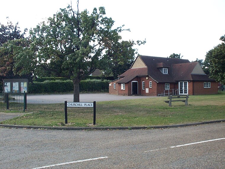
Photo: Simonxag, Public domain.
Willington is a village and civil parish located in the English county of Bedfordshire. It is west of Moggerhanger on the road from Sandy to Bedford. The village is recorded in the Domesday Book as Welitone and as Wilitona in c.
Cople
Village
Photo: Oliver White, CC BY-SA 2.0.
Cople is a village and civil parish in the English county of Bedfordshire. The name Cople is derived from the phrase Cock Pool, a place where chickens were kept, that was mentioned in the Domesday Book.
Moggerhanger
Village

Photo: Jeff Tomlinson, CC BY-SA 2.0.
Moggerhanger is a village in the English county of Bedfordshire. It is west of Sandy on the road to Bedford. Its population in 2001 was 636, but had reduced to 620 at the 2011 Census. Moggerhanger is situated 2 miles east of Balls Lane.
Balls Lane
- Type: Bus stop
- Category: transportation
- Location: Willington, Bedford, England, United Kingdom, Britain and Ireland, Europe
- View on OpenStreetMap
Latitude
52.1329° or 52° 7′ 58″ northLongitude
-0.37778° or 0° 22′ 40″ westOpen location code
9C4X4JMC+5VOpenStreetMap ID
node 9062419207OpenStreetMap feature
highway=bus_stopOpenStreetMap feature
public_transport=platform
This page is based on OpenStreetMap, Wikidata, and Wikimedia Commons.
We’d love your help improving our open data sources. Thank you for contributing.
Satellite Map
Discover Balls Lane from above in high-definition satellite imagery.
Places with the Same Name
Discover other places named “Balls Lane”.
Notable Places Nearby
Highlights include Willington Post Office and Stores and Peace Memorial Hall.
Nearby Places
Explore places such as Crossroads and Blossom Cafe.
England: Must-Visit Destinations
Delve into London, Manchester, Sheffield, and Leeds.
Curious Bus Stops to Discover
Uncover intriguing bus stops from every corner of the globe.
About Mapcarta. Data © OpenStreetMap contributors and available under the Open Database License". Text is available under the CC BY-SA 4.0 license, except for photos, directions, and the map. Photo: AlasdairW, CC BY-SA 3.0.