The Andrew Arms
The Andrew Arms is a pub in Stockport, England. The Andrew Arms is situated nearby to Compstall Post Office, as well as near Church of St Paul.| Tap on a place to explore it |
Places of Interest Nearby
Highlights include Church of St Paul and Iron Bridge.
Church of St Paul
Church

Photo: Ken Bagnall, CC BY-SA 2.0.
Church of St Paul is situated 780 feet west of The Andrew Arms.

Marple railway station
Railway station
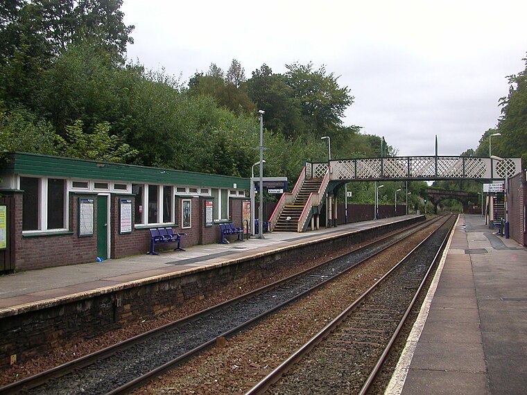
Photo: The Voice of Hassocks, Public domain.
Marple railway station serves the town of Marple, in Greater Manchester, England. It is a stop on the Hope Valley Line, sited 8.9 miles south-east of Manchester Piccadilly. Marple railway station is situated 1 mile south of The Andrew Arms.
Places in the Area
Nearby places include Mill Brow and Marple.

Marple

Photo: Parrot of Doom, Public domain.
Marple is a small town in the borough of Stockport, historically in Cheshire but now part of Greater Manchester. Agatha Christie often travelled this way, and named her character "Miss Marple" after her train was delayed here.
Broadbottom
Village

Photo: Rept0n1x, CC BY-SA 2.0.
Tameside is a borough on the east side of Greater Manchester, with Ashton-under-Lyne its main town. There are over 300 listed buildings in Tameside and three Scheduled Ancient Monuments, including Buckton Castle. In 2019 the population was 226,000. Broadbottom is situated 2½ miles northeast of The Andrew Arms.
The Andrew Arms
- Type: Pub
- Location: Stockport, England, United Kingdom, Britain and Ireland, Europe
- View on OpenStreetMap
Latitude
53.41592° or 53° 24′ 57″ northLongitude
-2.05169° or 2° 3′ 6″ westOpen location code
9C5VCW8X+98OpenStreetMap ID
node 914976918OpenStreetMap feature
amenity=pub
This page is based on OpenStreetMap, Wikidata, and Wikimedia Commons.
We’d love your help improving our open data sources. Thank you for contributing.
Satellite Map
Discover The Andrew Arms from above in high-definition satellite imagery.
Notable Places Nearby
Highlights include Compstall Post Office and Etherow Country Park.
Nearby Places
Explore places such as The Potting Shed and Etherow Country Park Visitor Centre.
England: Must-Visit Destinations
Delve into London, Manchester, Sheffield, and Leeds.
Curious Pubs to Discover
Uncover intriguing pubs from every corner of the globe.
About Mapcarta. Data © OpenStreetMap contributors and available under the Open Database License". Text is available under the CC BY-SA 4.0 license, except for photos, directions, and the map. Photo: sidibousaid, CC BY 2.0.