Chint Europe
Chint Europe is an electrical supply store in England, United Kingdom which is located on Hamilton Road. Chint Europe is situated nearby to the cemetery St Paul’s Church Portwood Graveyard, as well as near Brunswick Wesleyan Methodist Chapel Graveyard.| Tap on a place to explore it |
Places of Interest Nearby
Highlights include Staircase House and Meadow Mill.
Staircase House

Photo: Polishname, Public domain.
Staircase House, also known as Stockport Museum, is a Grade II* listed medieval building dating from around 1460 situated in Stockport, historically in Cheshire, now within Greater Manchester, England. Staircase House is situated 3,800 feet southwest of Chint Europe.
Meadow Mill
Industrial building
 Meadow Mill is a historic cotton mill in Stockport, Greater Manchester, England. It is located on the south bank of the River Tame opposite a Tesco Extra supermarket and the M60 motorway. Meadow Mill is situated 1,700 feet southwest of Chint Europe.
St Mary’s Church, Stockport
Church

Photo: Zzztriple2000, CC BY 3.0.
St Mary's Church is the oldest parish church in the town of Stockport, Greater Manchester, England. It stands in Churchgate overlooking the market place. St Mary’s Church, Stockport is situated 3,700 feet southwest of Chint Europe.
Places in the Area
Nearby places include Brinnington and Stockport.
Brinnington
Suburb

Photo: Bob Abell, CC BY-SA 2.0.
Brinnington is a north-eastern suburb of Stockport, in Greater Manchester, England. It lies on a bluff above a bend in the Tame Valley, between the M60 motorway and Reddish Vale Country Park.
Stockport

Photo: raver mikey, CC BY 2.0.
Stockport is a town in the south east of Greater Manchester, historically in Cheshire, at the point where the rivers Tame and Goyt combine to form the Mersey.
Reddish
Suburb
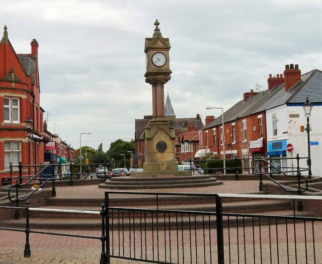
Photo: Wikimedia, CC BY-SA 2.0.
Reddish is an area of the Metropolitan Borough of Stockport, Greater Manchester, England; it lies 4.6 miles south-east of Manchester city centre. At the 2011 census, the population was 28,052.
Chint Europe
- Type: Electrical supply store
- Address: Unit 9 + 11 Hamilton Road, Stockport, SK1 2AE
- Category: shop
- Location: England, United Kingdom, Britain and Ireland, Europe
- View on OpenStreetMap
Latitude
53.41966° or 53° 25′ 11″ northLongitude
-2.14556° or 2° 8′ 44″ westOpen location code
9C5VCV93+VQOpenStreetMap ID
node 9188461059OpenStreetMap feature
shop=electrical
This page is based on OpenStreetMap, Wikidata, and Wikimedia Commons.
We’d love your help improving our open data sources. Thank you for contributing.
Satellite Map
Discover Chint Europe from above in high-definition satellite imagery.
Notable Places Nearby
Highlights include St Paul’s Church Portwood Graveyard and Crescent Road Day Centre.
Nearby Places
Explore places such as Firstplay Dietary Foods and The Tens+ Company.
England: Must-Visit Destinations
Delve into London, Manchester, Sheffield, and Leeds.
Curious Electrical Supply Stores to Discover
Uncover intriguing electrical supply stores from every corner of the globe.
About Mapcarta. Data © OpenStreetMap contributors and available under the Open Database License". Text is available under the CC BY-SA 4.0 license, except for photos, directions, and the map. Photo: sidibousaid, CC BY 2.0.