AR 8 Mai 1945
AR 8 Mai 1945 is an electrical substation in Arcueil, Arrondissement of L’Haÿ-les-Roses, Île-de-France. AR 8 Mai 1945 is situated nearby to the park Parc Paul Vaillant-Couturier, as well as near the monastery Arcueil 1.| Tap on a place to explore it |
Places of Interest Nearby
Highlights include Église Saint-Denys d’Arcueil and Laplace station.
Église Saint-Denys d’Arcueil
Church

Photo: Zalavin, CC BY-SA 3.0.
Église Saint-Denys d’Arcueil is a church, which is situated 170 metres southeast of AR 8 Mai 1945.
Laplace station
Railway station
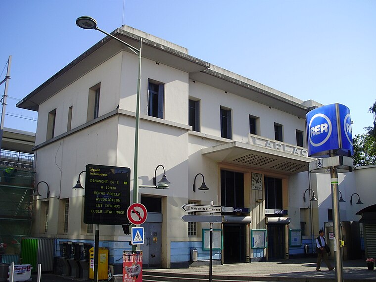
Photo: Geralix, CC BY-SA 3.0.
Laplace station is a station on the line B of the Réseau Express Régional, a hybrid suburban commuter and rapid transit line. It is located in the city of Arcueil. Laplace station is situated 500 metres northeast of AR 8 Mai 1945.
Maison des Gardes
Public building
 Maison des Gardes is a public building, which is situated 290 metres southeast of AR 8 Mai 1945.
Places in the Area
Nearby places include Arcueil and Cachan.
Arcueil
Town

Photo: Damien94, Public domain.
Arcueil is a commune in the Val-de-Marne department in the southern suburbs of Paris, France. It is located 5.3 km from the center of Paris.
Cachan
Town
Photo: Damien94, Public domain.
Cachan is a commune in the southern suburbs of Paris, France. It is located 6.7 km from the center of Paris. The prestigious École Spéciale des Travaux Publics is located there.
Gentilly
Town

Photo: Ralf.treinen, CC BY-SA 3.0.
Gentilly is a commune in the southern suburbs of Paris, France. It is the closest commune to Paris, located 4.1 km from the city center.
AR 8 Mai 1945
- Type: Electrical substation
- Category: industry
- Location: Arcueil, Arrondissement of L’Haÿ-les-Roses, Val-de-Marne, Île-de-France, France, Europe
- View on OpenStreetMap
Latitude
48.8036° or 48° 48′ 13″ northLongitude
2.33035° or 2° 19′ 49″ eastOperator
EnedisOpen location code
8FW4R83J+C4OpenStreetMap ID
node 9196670254
This page is based on OpenStreetMap, Wikidata, and Wikimedia Commons.
We’d love your help improving our open data sources. Thank you for contributing.
Satellite Map
Discover AR 8 Mai 1945 from above in high-definition satellite imagery.
Notable Places Nearby
Highlights include Parc Paul Vaillant-Couturier and Arcueil 1.
Nearby Places
Explore places such as Parc Paul Vaillant-Couturier and Café Restaurant du Parc.
Île-de-France: Must-Visit Destinations
Delve into Paris, Versailles, Boulogne-Billancourt, and Paris Charles de Gaulle Airport.
Curious Electrical Substations to Discover
Uncover intriguing electrical substations from every corner of the globe.
About Mapcarta. Data © OpenStreetMap contributors and available under the Open Database License". Text is available under the CC BY-SA 4.0 license, except for photos, directions, and the map. Photo: Guillaume Baviere, CC BY 2.0.