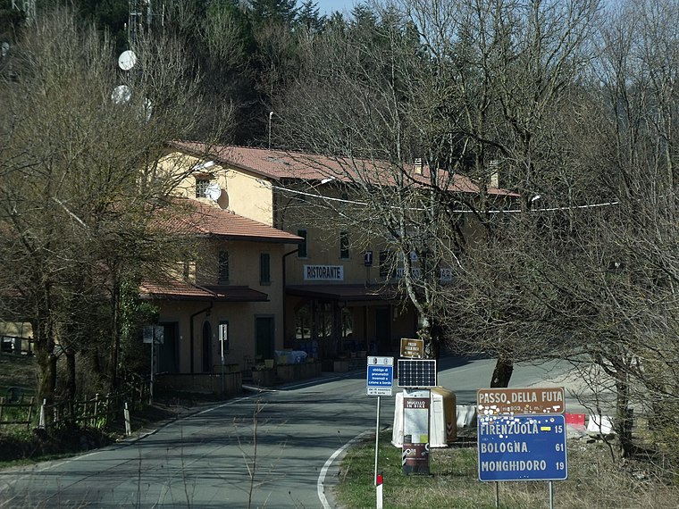
Valico Citerna
Valico Citerna is in Barberino di Mugello, Florence, Tuscany. Valico Citerna is situated nearby to the mountain saddle Valico Autostradale di Citerna, as well as near the ruins Belvedere.| Tap on a place to explore it |
Places of Interest Nearby
Highlights include Lago di Tavianella and Futa Pass Cemetery.
Lago di Tavianella
Reservoir

Photo: Naioli, CC BY-SA 4.0.
Lago di Tavianella is a reservoir, which is situated 3 km northwest of Valico Citerna.
Futa Pass Cemetery
Cemetery

Photo: Vignaccia76, CC BY 3.0.
The German Futa Pass Cemetery is Italy's largest war cemetery. According to the German War Graves Commission it holds remains of 30,800 German soldiers who died in the Second World War. Futa Pass Cemetery is situated 3½ km east of Valico Citerna.
Places in the Area
Nearby places include Futa Pass and Mangona.
Futa Pass
Locality
 The Futa Pass or La Futa Pass is a pass in the Tuscan-Emilian Apennines, at an elevation of 903 m. It is located in the comune of Firenzuola, in the Metropolitan City of Florence. Futa Pass is situated 4 km east of Valico Citerna.
Mangona
Hamlet
Mangona is a village in the municipality of Barberino di Mugello, in the metropolitan city of Florence, Italy. In the past it was the seat of the homonymous county, which took its name from the Castle of Mangona, now in ruins. Mangona is situated 5 km southwest of Valico Citerna.
Baragazza
Village

Photo: Lucianux021279, CC BY-SA 3.0.
Baragazza is a village, which is situated 5 km northwest of Valico Citerna.
Valico Citerna
- Type: Sign
- Categories: information and tourism
- Location: Barberino di Mugello, Florence, Tuscany, Central Italy, Italy, Europe
- View on OpenStreetMap
Latitude
44.08708° or 44° 5′ 14″ northLongitude
11.22904° or 11° 13′ 45″ eastElevation
781 metres (2,562 feet)Open location code
8FPH36PH+RJOpenStreetMap ID
node 9213369547OpenStreetMap feature
tourism=information
This page is based on OpenStreetMap, Wikidata, and Wikimedia Commons.
We’d love your help improving our open data sources. Thank you for contributing.
Satellite Map
Discover Valico Citerna from above in high-definition satellite imagery.
Notable Places Nearby
Highlights include Valico Autostradale di Citerna and Belvedere.
Nearby Places
Explore places such as La Casetta and Ripanaio.
Florence: Must-Visit Destinations
Delve into Florence, Scandicci, Fiesole, and Greve in Chianti.
Curious Places to Discover
Uncover intriguing places from every corner of the globe.
About Mapcarta. Data © OpenStreetMap contributors and available under the Open Database License". Text is available under the CC BY-SA 4.0 license, except for photos, directions, and the map. Photo: Massimilianogalardi, CC BY-SA 3.0.