Agro Giménez Vélez
Agro Giménez Vélez is an agrarian shop in Burgos, Castile and León. Agro Giménez Vélez is situated nearby to the pitch Campo de Fútbol 11 José Manuel Sedano, as well as near the community center Centro Municipal de San Cristóbal.| Tap on a place to explore it |
Places of Interest Nearby
Highlights include Church San Juan de Ortega and Burgos-Rosa Manzano railway station.
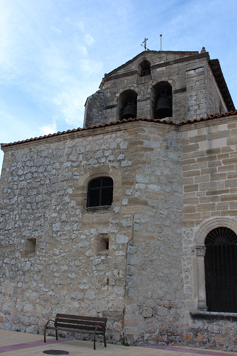
Church San Juan de Ortega
Church

Photo: Tomukas, CC BY-SA 4.0.
Church San Juan de Ortega is situated 550 metres west of Agro Giménez Vélez.
Burgos-Rosa Manzano railway station
Railway station

Photo: Jardoz, CC BY-SA 3.0.
Burgos-Rosa Manzano railway station, previously known as Burgos Rosa de Lima railway station, serves the Spanish city of Burgos, Castile and León. The station opened in 2008, named after the politician Rosa de Lima Manzano Gete responsible for the Directorate-General for Traffic and killed in service in 1988 in a helicopter accident. Burgos-Rosa Manzano railway station is situated 1½ km northwest of Agro Giménez Vélez.
Santa María la Real y Antigua de Gamonal
Church

Photo: Eltitomac, Public domain.
Iglesia de Santa María la Real y Antigua de Gamonal is a church in Burgos, Spain. The Gothic structure dates to the 14th century, although there is evidence of an earlier church dating back to the eleventh century, when King Alfonso VI moved his seat from the destroyed city of Oca of the Auca diocese in 1075. Santa María la Real y Antigua de Gamonal is situated 1½ km southwest of Agro Giménez Vélez.
Places in the Area
Nearby places include Villímar and Gamonal.


Agro Giménez Vélez
- Email: gimenez953@hotmail.com
- Type: Agrarian shop
- Category: shop
- Location: Burgos, Burgos, Castile and León, Central Spain, Spain, Iberia, Europe
- View on OpenStreetMap
Latitude
42.36158° or 42° 21′ 42″ northLongitude
-3.65003° or 3° 39′ 0″ westOpen location code
8CJR986X+JXOpenStreetMap ID
node 9246440305OpenStreetMap feature
shop=agrarian
This page is based on OpenStreetMap, Wikidata, and Wikimedia Commons.
We’d love your help improving our open data sources. Thank you for contributing.
Satellite Map
Discover Agro Giménez Vélez from above in high-definition satellite imagery.
Notable Places Nearby
Highlights include Campo de Fútbol 11 José Manuel Sedano and Centro Municipal de San Cristóbal.
Nearby Places
Explore places such as Aluminios Campeador and Navescon 1.
Castile and León: Must-Visit Destinations
Delve into Valladolid, Salamanca, León, and Segovia.
Curious Agrarian Shops to Discover
Uncover intriguing agrarian shops from every corner of the globe.
About Mapcarta. Data © OpenStreetMap contributors and available under the Open Database License". Text is available under the CC BY-SA 4.0 license, except for photos, directions, and the map. Photo: Choniron, CC BY-SA 3.0 es.