DNB Haugesund
DNB Haugesund is a bank in Haugesund, Rogaland, Western Norway. DNB Haugesund is situated nearby to the police station Politiets forvaltningssenter - Haugesund, as well as near Steinparken.| Tap on a place to explore it |
Places of Interest Nearby
Highlights include Haugesund folkebibliotek and Vår Frelsers Church.
Haugesund folkebibliotek
Library

Photo: David40226543, Public domain.
Haugesund folkebibliotek is a library, which is situated 230 metres north of DNB Haugesund.
Vår Frelsers Church
Church

Photo: Vinguru, CC BY-SA 4.0.
Vår Frelsers Church is a parish church of the Church of Norway in Haugesund Municipality in Rogaland county, Norway. It is located in the centre of the town of Haugesund. Vår Frelsers Church is situated 230 metres north of DNB Haugesund.
Haugesund City Hall
Town hall

Photo: Sjoehest, CC BY-SA 3.0.
Haugesund City Hall is the city hall of Haugesund municipality in Rogaland county, Norway. Haugesund City Hall is situated 380 metres southeast of DNB Haugesund.
Places in the Area
Nearby places include Norheim and Avaldsnes.
Norheim
Village

Photo: Btd, CC BY-SA 2.5.
Norheim is a village in Karmøy municipality in Rogaland county, Norway. The village is located along the Karmsundet strait immediately south of the town of Haugesund, just over the municipal border inside Karmøy. Norheim is situated 4½ km southeast of DNB Haugesund.
Avaldsnes
Village
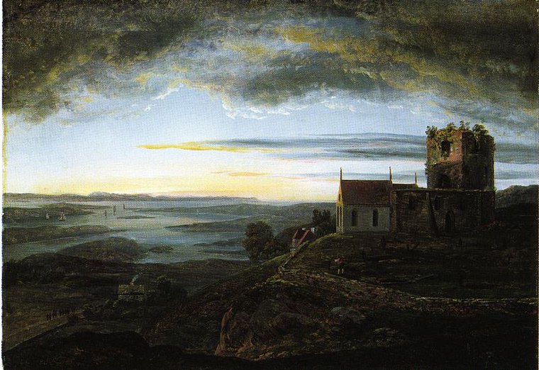
Photo: Johan Christian Dahl, Public domain.
Avaldsnes is a village in Karmøy municipality in Rogaland county, Norway. The village is located on the northeastern part of the island of Karmøy, along the Karmsundet strait, just south of the town of Haugesund. Avaldsnes is situated 6 km south of DNB Haugesund.
DNB Haugesund
- Opening hours: Monday—Friday 10:00 AM—3:00 PM
- Type: Bank
- Location: Haugesund, Rogaland, Western Norway, Norway, Nordic countries, Europe
- View on OpenStreetMap
Latitude
59.41244° or 59° 24′ 45″ northLongitude
5.27042° or 5° 16′ 14″ eastBranch
HaugesundBrand
DNBOpen location code
9FF7C76C+X5OpenStreetMap ID
node 9262830580OpenStreetMap feature
amenity=bank
This page is based on OpenStreetMap, Wikidata, and Wikimedia Commons.
We’d love your help improving our open data sources. Thank you for contributing.
Satellite Map
Discover DNB Haugesund from above in high-definition satellite imagery.
Notable Places Nearby
Highlights include Politiets forvaltningssenter - Haugesund and Steinparken.
Nearby Places
Explore places such as Handelsbanken Haugesund and Narvesen.
Rogaland: Must-Visit Destinations
Delve into Stavanger, Sandnes, Forsand, and Ryfylke.
Curious Banks to Discover
Uncover intriguing banks from every corner of the globe.
About Mapcarta. Data © OpenStreetMap contributors and available under the Open Database License". Text is available under the CC BY-SA 4.0 license, except for photos, directions, and the map. Photo: Wikimedia, CC BY-SA 3.0.