Roxnäs udde
Roxnäs udde is a locality in Dalarna, Svealand. Roxnäs udde is situated nearby to the neighborhood Hälsingstrand, as well as near Hälsinggården.| Tap on a place to explore it |
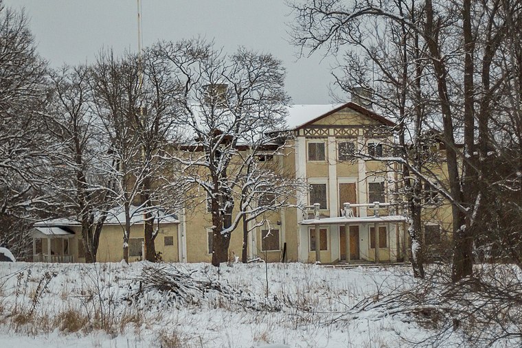
Places of Interest
Highlights include Rottneby herrgård and Rottnebyskogen.

Hosjön
Lake

Photo: Wikimedia, CC BY-SA 2.5.
Hosjön is a lake, which is situated 3 km northeast of Roxnäs udde.
Places in the Area
Nearby places include Korsnäs and Källviken.

Källviken
Neighborhood

Photo: V-wolf, CC BY-SA 3.0.
Källviken is a neighborhood, which is situated 2½ km west of Roxnäs udde.
Hosjö
Neighborhood

Photo: Skvattram, CC BY-SA 3.0.
Hosjö is a suburb and parish in Falun, Sweden. Hosjö forms the most eastern part of the city and consists mostly of houses, with some apartments. In Hosjö, there is a grocery store, news agency, school, preschools, petrol station, pizzeria, some sporting facilities and industries. Hosjö is situated 2½ km northeast of Roxnäs udde.
Roxnäs udde
- Type: Locality
- Also known as: “Roxnäsudden”
- Location: Dalarna, Svealand, Sweden, Nordic countries, Europe
- View on OpenStreetMap
Latitude
60.57904° or 60° 34′ 45″ northLongitude
15.70085° or 15° 42′ 3″ eastOpen location code
9FGQHPH2+J8OpenStreetMap ID
node 927756039OpenStreetMap feature
place=localityWikidata ID
Q10657460
This page is based on OpenStreetMap, Wikidata, and Wikimedia Commons.
We’d love your help improving our open data sources. Thank you for contributing.
Satellite Map
Discover Roxnäs udde from above in high-definition satellite imagery.
In Other Languages
“Roxnäs udde” goes by many names.
- Swedish: “Roxnäs udde”
Localities in the Area
Explore places such as Roxnäs and Hälsingstrand.
Notable Places Nearby
Highlights include Public beach Roxnäs,Falun and Roxnäsbanan.
Dalarna: Must-Visit Destinations
Delve into Falun, Borlänge, Mora, and Ludvika.
Curious Localities to Discover
Uncover intriguing localities from every corner of the globe.
About Mapcarta. Data © OpenStreetMap contributors and available under the Open Database License". Text is available under the CC BY-SA 4.0 license, except for photos, directions, and the map. Photo: Pbsouthwood, Public domain.