Helsekosten
Helsekosten is a health food store in Frederikshavn Municipality, North Jutland. Helsekosten is situated nearby to the recreation area Cozy Krea, as well as near the square Lodstorvet.| Tap on a place to explore it |
Places of Interest Nearby
Highlights include Krudttårnet and Frederikshavn railway station.
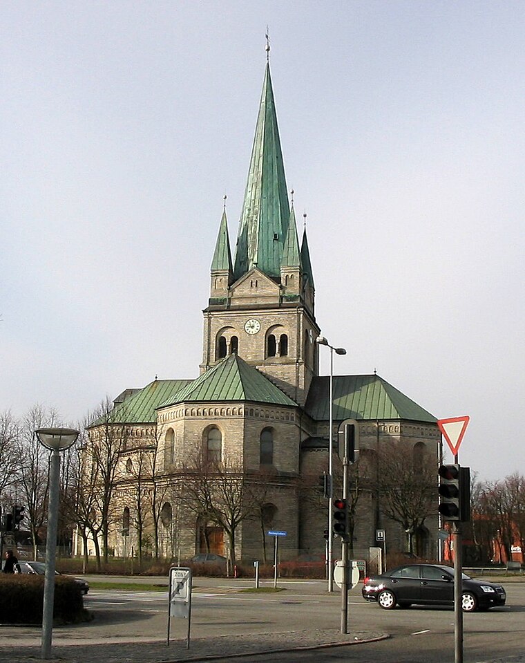
Krudttårnet

Photo: Wikimedia, CC BY-SA 3.0.
Krudttårnet is a former gunpowder magazine and fortification in Frederikshavn, Denmark. Krudttårnet is situated 490 metres northeast of Helsekosten.
Frederikshavn railway station
Railway station

Photo: Bahnfrend, CC BY-SA 4.0.
Frederikshavn railway station is a railway station serving the town of Frederikshavn in Vendsyssel, Denmark. It is located in central Frederikshavn, situated between the town centre and the Port of Frederikshavn, and immediately adjacent to the Frederikshavn bus station. Frederikshavn railway station is situated 590 metres northeast of Helsekosten.
Places in the Area
Nearby places include Frederikshavn and Kilden.
Frederikshavn

Photo: Matthias Schalk, CC BY-SA 3.0.
Frederikshavn is a port city on the Kattegat in North Jutland, Denmark. It is popular with vacationers, especially for its clean beaches with gentle surf.

Haldbjerg
Village

Photo: BKP, CC BY-SA 3.0.
Haldbjerg is a village, which is situated 5 km south of Helsekosten.
Helsekosten
- Type: Health food store
- Categories: shop and food
- Location: Frederikshavn Municipality, North Jutland, Jutland, Denmark, Nordic countries, Europe
- View on OpenStreetMap
Latitude
57.43724° or 57° 26′ 14″ northLongitude
10.53417° or 10° 32′ 3″ eastOpen location code
9F9GCGPM+VMOpenStreetMap ID
node 9341097466OpenStreetMap feature
shop=health_food
This page is based on OpenStreetMap, Wikidata, and Wikimedia Commons.
We’d love your help improving our open data sources. Thank you for contributing.
Satellite Map
Discover Helsekosten from above in high-definition satellite imagery.
Places with the Same Name
Discover other places named “Helsekosten”.
Notable Places Nearby
Highlights include Cozy Krea and Lodstorvet.
Nearby Places
Explore places such as Bai Sheng Restaurant and Rabalder Bar.
North Jutland: Must-Visit Destinations
Delve into Aalborg, Frederikshavn, Skagen, and Hjørring.
Curious Health Food Stores to Discover
Uncover intriguing health food stores from every corner of the globe.
About Mapcarta. Data © OpenStreetMap contributors and available under the Open Database License". Text is available under the CC BY-SA 4.0 license, except for photos, directions, and the map. Photo: Slaunger, CC BY-SA 3.0.