Exmouth Foodbank
Exmouth Foodbank is a social service facility in Exmouth, East Devon District, England which is located on Sheppards Row. Exmouth Foodbank is situated nearby to the church The Salvation Army, as well as near Exmouth Museum.| Tap on a place to explore it |
- Email: info@exmouthfoodbank.org.uk
- Type: Social service facility
- Address: Sheppards Row, Exmouth, EX8 1PW
Places of Interest Nearby
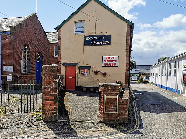
Highlights include Exmouth Museum and Exmouth Library.

Exmouth railway station
Railway station

Photo: Kicior99, Public domain.
Exmouth railway station serves the town of Exmouth in Devon, England and is 11.25 miles south of Exeter St Davids, the terminus of the Avocet Line. The station is managed by Great Western Railway, who operate all trains serving it. Exmouth railway station is situated 610 feet west of Exmouth Foodbank.
Places in the Area
Nearby places include Orcombe Point and Littleham.
Orcombe Point
Locality

Photo: DorsetBlogger, CC BY-SA 2.0.
Orcombe Point is a coastal feature near Exmouth, Devon, on the south coast of England. It lies about 10 mi south of the city of Exeter, 2 mi southeast of Exmouth town centre and about 7.5 mi southwest of Sidmouth. Orcombe Point is situated 1½ miles southeast of Exmouth Foodbank.
Littleham
Suburb

Photo: Roger Cornfoot, CC BY-SA 2.0.
Littleham is an area of Exmouth in the East Devon district, Devon, England. It was historically a village and civil parish, much older than Exmouth itself; the parish was abolished on 1 April 1974. In 1961, the parish had a population of 7,954. Littleham is situated 1½ miles east of Exmouth Foodbank.
Lympstone

Photo: Ray Girvan, CC BY-SA 2.0.
Lympstone is a former fishing village in East Devon, between Exeter and Exmouth. It has become a home mainly for commuters and tourists.
Exmouth Foodbank
Latitude
50.62136° or 50° 37′ 17″ northLongitude
-3.41236° or 3° 24′ 45″ westOpen location code
9C2RJHCQ+G3OpenStreetMap ID
node 9341439161OpenStreetMap feature
amenity=social_facility
This page is based on OpenStreetMap, Wikidata, and Wikimedia Commons.
We’d love your help improving our open data sources. Thank you for contributing.
Satellite Map
Discover Exmouth Foodbank from above in high-definition satellite imagery.
Notable Places Nearby
Highlights include The Salvation Army and Exmouth Chapel.
Nearby Places
Explore places such as Exmouth Arms and Aroma Grill.
East Devon: Must-Visit Destinations
Delve into Sidmouth, Tiverton, Honiton, and Axminster.
Curious Social Service Facilities to Discover
Uncover intriguing social service facilities from every corner of the globe.
About Mapcarta. Data © OpenStreetMap contributors and available under the Open Database License". Text is available under the CC BY-SA 4.0 license, except for photos, directions, and the map. Photo: AlasdairW, CC BY-SA 3.0.