Teversham
Teversham is a work of art in Teversham, South Cambridgeshire District, England. Teversham is situated nearby to the recreation area Church Green, as well as near the basin Taversham Pond.| Tap on a place to explore it |
Places of Interest Nearby
Highlights include Cambridge International Airport and Teversham Hall.
Cambridge International Airport
Aerodrome

Photo: My another account, CC0.
Cambridge City Airport — previously Marshall Airport Cambridge UK — is a regional airport in Cambridgeshire, England. It is located on the eastern outskirts of Cambridge, south of Newmarket Road and west of the village of Teversham, 1.5 NM from the centre of Cambridge and approximately 50 mi from London.

Teversham CofE VA Primary School
School

Photo: Keith Edkins, CC BY-SA 2.0.
Teversham CofE VA Primary School is situated 880 feet northwest of Teversham.
Places in the Area
Nearby places include Cherry Hinton and Fen Ditton.
Cherry Hinton
Suburb
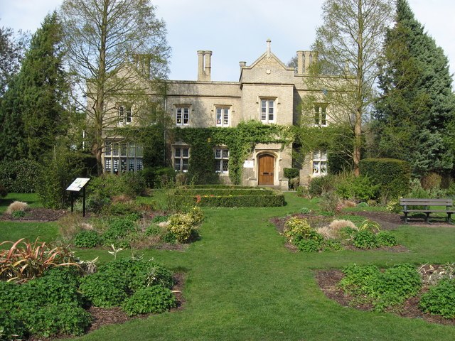
Photo: Pete Saunders, CC BY-SA 2.0.
Cherry Hinton is a village and electoral ward in Cambridge, in the county of Cambridgeshire, England. As of the 2021 UK census, the ward's population was 9,343 people.
Fen Ditton
Village

Photo: Keith Edkins, CC BY-SA 2.0.
Fen Ditton is a village and civil parish in the South Cambridgeshire district, on the northeast edge of Cambridge in Cambridgeshire, England. In 2011 the parish had a population of 760.
Barnwell
Suburb

Photo: Keith Edkins, CC BY-SA 2.0.
Barnwell is a suburb of Cambridge in England. The population of the Barnwell ward of Cambridge City Council at the 2011 census was 1,967. It lies northeast of the city, with Cambridge Airport located immediately to the east.
Teversham
- Type: Work of art
- Category: tourism
- Location: Teversham, South Cambridgeshire District, Cambridgeshire, England, United Kingdom, Britain and Ireland, Europe
- View on OpenStreetMap
Latitude
52.20409° or 52° 12′ 15″ northLongitude
0.18927° or 0° 11′ 21″ eastOpen location code
9F42653Q+JPOpenStreetMap ID
node 9415775442OpenStreetMap feature
man_made=village_signOpenStreetMap feature
tourism=artwork
This page is based on OpenStreetMap, Wikidata, and Wikimedia Commons.
We’d love your help improving our open data sources. Thank you for contributing.
Satellite Map
Discover Teversham from above in high-definition satellite imagery.
Places with the Same Name
Discover other places named “Teversham”.
Notable Places Nearby
Highlights include Church Green and All Saints (Teversham).
Nearby Places
Explore places such as Phonebox Library and Borley Brothers.
England: Must-Visit Destinations
Delve into London, Manchester, Sheffield, and Leeds.
Curious Work Of Arts to Discover
Uncover intriguing work of arts from every corner of the globe.
About Mapcarta. Data © OpenStreetMap contributors and available under the Open Database License". Text is available under the CC BY-SA 4.0 license, except for photos, directions, and the map. Photo: sidibousaid, CC BY 2.0.