Plantinor
Plantinor is an office in Amorebieta-Etxano, Biscay, Basque Country which is located on Arriagane industrialdea. Plantinor is situated nearby to the peak Ixerango Mendia, as well as near the power station Central Térmica de Boroa.| Tap on a place to explore it |
Places of Interest Nearby
Highlights include Central Térmica de Boroa and Amorebieta station.
Central Térmica de Boroa
Power station

Photo: Kepa Diez Ara, CC BY-SA 2.0.
Central Térmica de Boroa is a power station, which is situated 1 km north of Plantinor.
Amorebieta station
Railway station
 Amorebieta is a railway station in Amorebieta-Etxano, Basque Country, Spain. It is owned by Euskal Trenbide Sarea and operated by Euskotren. It lies on the Bilbao-San Sebastián line. Amorebieta station is situated 2 km southeast of Plantinor.
Church of Santa María de la Asunción, Amorebieta
Church

Photo: Assar, CC BY-SA 3.0.
Church of Santa María de la Asunción, Amorebieta is situated 1½ km southeast of Plantinor.
Places in the Area
Nearby places include Amorebieta-Etxano and Lemoa.
Amorebieta-Etxano
Town

Photo: Wikimedia, CC BY-SA 3.0.
Amorebieta-Etxano, also known as Zornotza, is a town and municipality located in Biscay in the Basque Country, an Autonomous Community in northern Spain.
Lemoa
Village
 Lemoa is a town and municipality located in the province of Biscay, in the autonomous community of Basque Country, northern Spain. Lemoa is situated 3 km southwest of Plantinor.
Etxano
Neighborhood
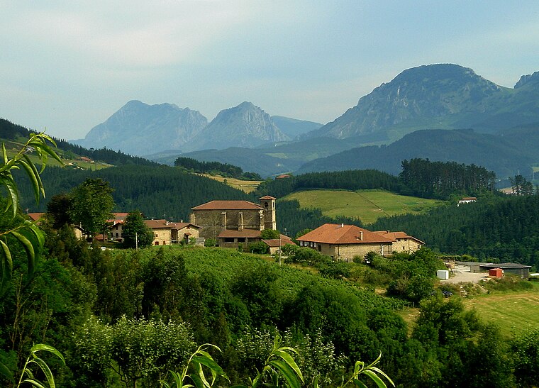
Photo: Assar, CC BY-SA 3.0.
Etxano is a neighborhood, which is situated 3½ km east of Plantinor.
Plantinor
- Type: Office
- Address: Arriagane industrialdea, Amorebieta-Etxano, 48340
- Location: Amorebieta-Etxano, Biscay, Basque Country, Northern Spain, Spain, Iberia, Europe
- View on OpenStreetMap
Latitude
43.22698° or 43° 13′ 37″ northLongitude
-2.75338° or 2° 45′ 12″ westOpen location code
8CMV66GW+QJOpenStreetMap ID
node 9442879342OpenStreetMap feature
office=yes
This page is based on OpenStreetMap, Wikidata, and Wikimedia Commons.
We’d love your help improving our open data sources. Thank you for contributing.
Satellite Map
Discover Plantinor from above in high-definition satellite imagery.
Notable Places Nearby
Highlights include Ixerango Mendia and San Román.
Nearby Places
Explore places such as Eidan and Arriagane industrialdea.
Basque Country: Must-Visit Destinations
Delve into Bilbao, San Sebastián, Vitoria-Gasteiz, and Guernica.
Curious Offices to Discover
Uncover intriguing offices from every corner of the globe.
About Mapcarta. Data © OpenStreetMap contributors and available under the Open Database License". Text is available under the CC BY-SA 4.0 license, except for photos, directions, and the map. Photo: Ander Abadia Zallo, CC BY 4.0.