Radisson Hotel
Radisson Hotel is a bus stop in Dún Laoghaire–Rathdown, Leinster. Radisson Hotel is situated nearby to St Thomas‘ Church, as well as near the community center Monk Gibbon Hall.| Tap on a place to explore it |
Places of Interest Nearby
Highlights include Booterstown and Church of the Assumption, Booterstown.
Booterstown
Railway station
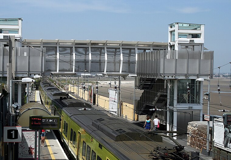
Photo: Sarah777, Public domain.
Booterstown railway station is a suburban station that serves Booterstown in Dún Laoghaire–Rathdown, Ireland. Booterstown is situated 1 km northeast of Radisson Hotel.
Church of the Assumption, Booterstown
Church
 Church of the Assumption, Booterstown is a Roman Catholic church located in Booterstown, County Dublin, Ireland. The church represents the Parish of the Assumption Booterstown, which was established in 1616. Church of the Assumption, Booterstown is situated 670 metres east of Radisson Hotel.
University College Dublin Library
Library
The University College Dublin Library, composed of five separate bodies, holds varied ranges of digital and printed books on a wide range of topics, including architecture, arts and humanities, business studies, engineering, law, medicine, science, social sciences and veterinary medicine. University College Dublin Library is situated 1 km west of Radisson Hotel.
Places in the Area
Nearby places include Booterstown and Merrion.
Booterstown

Photo: Beta, Public domain.
Booterstown is a coastal suburban town near Dublin. The Bellfield campus of University College Dublin, a major research university, is about 2 km west of Booterstown. The area is home to Booterstown marsh, a bird sanctuary.
Merrion
Suburb
 Merrion is a townland and suburban area located about 4 km south east of Dublin City. The townland has an area of approximately 0.8 square kilometres. Merrion is situated along the Merrion Road between Ballsbridge to the north and Booterstown to the south.
Stillorgan
Suburb

Photo: Sarah777, Public domain.
Stillorgan, formerly a village in its own right, is now a suburban area of Dublin in Ireland. Stillorgan is located in Dún Laoghaire–Rathdown, and contains many housing estates, shops and other facilities, with the old village centre still present.
Radisson Hotel
- Type: Bus stop
- Wheelchair access: limited
- Category: transportation
- Location: Dún Laoghaire–Rathdown, Leinster, Ireland, Britain and Ireland, Europe
- View on OpenStreetMap
Latitude
53.30336° or 53° 18′ 12″ northLongitude
-6.20789° or 6° 12′ 28″ westOperator
AircoachNetwork
AircoachOpen location code
9C5M8Q3R+8ROpenStreetMap ID
node 945981311OpenStreetMap feature
highway=bus_stopOpenStreetMap feature
public_transport=platformOpenStreetMap attribute
wheelchair=limited
This page is based on OpenStreetMap, Wikidata, and Wikimedia Commons.
We’d love your help improving our open data sources. Thank you for contributing.
Satellite Map
Discover Radisson Hotel from above in high-definition satellite imagery.
Places with the Same Name
Discover other places named “Radisson Hotel”.
Notable Places Nearby
Highlights include St Thomas‘ Church and Monk Gibbon Hall.
Nearby Places
Explore places such as #2009 Stillorgan Road, Fosters Avenue and #2070 Stillorgan Road, Fosters Avenue.
Ireland: Must-Visit Destinations
Delve into Dublin, Cork, Limerick, and Galway.
Curious Bus Stops to Discover
Uncover intriguing bus stops from every corner of the globe.
About Mapcarta. Data © OpenStreetMap contributors and available under the Open Database License". Text is available under the CC BY-SA 4.0 license, except for photos, directions, and the map. Photo: Wikimedia, CC BY-SA 3.0.