Hidrološka postaja Prestranek
Hidrološka postaja Prestranek is a monitoring station in Postojna, Coast and Karst. Hidrološka postaja Prestranek is situated nearby to Prestranek railway station, as well as near the peak Veliki vrh.| Tap on a place to explore it |
Places of Interest Nearby
Highlights include Prestranek railway station and Prestranek Castle.
Prestranek railway station
Railway station

Photo: PetarM, CC BY-SA 4.0.
Prestranek railway station is situated 270 metres south of Hidrološka postaja Prestranek.
Prestranek Castle
Castle

Photo: Sl-Ziga, Public domain.
Prestranek Castle is situated 1 km west of Hidrološka postaja Prestranek.
Cerkev Marijine zaroke
Church

Photo: Palauenc05, CC BY-SA 4.0.
Cerkev Marijine zaroke is a church, which is situated 2 km north of Hidrološka postaja Prestranek.
Places in the Area
Nearby places include Prestranek and Matenja Vas.
Prestranek
Village
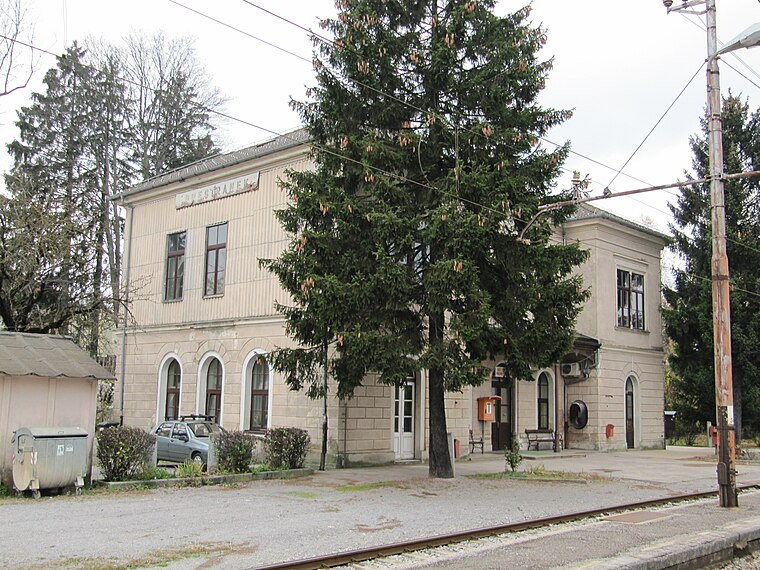
Photo: Sl-Ziga, Public domain.
Prestranek is a settlement south of Postojna in the Inner Carniola region of Slovenia.
Matenja Vas
Village

Photo: Doremo, CC BY-SA 4.0.
Matenja Vas is a village south of Postojna in the Inner Carniola region of Slovenia.
Koče
Village

Photo: PetarM, CC BY-SA 4.0.
Koče is a village south of Postojna in the Inner Carniola region of Slovenia. The local church in the settlement is dedicated to Saint Margaret and belongs to the Parish of Slavina.
Hidrološka postaja Prestranek
- Type: Monitoring station
- Location: Postojna, Coast and Karst, Slovenia, Central Europe, Europe
- View on OpenStreetMap
Latitude
45.73082° or 45° 43′ 51″ northLongitude
14.18678° or 14° 11′ 12″ eastOperator
ARSOOpen location code
8FQPP5JP+8POpenStreetMap ID
node 9462917819OpenStreetMap feature
man_made=monitoring_station
This page is based on OpenStreetMap, Wikidata, and Wikimedia Commons.
We’d love your help improving our open data sources. Thank you for contributing.
Satellite Map
Discover Hidrološka postaja Prestranek from above in high-definition satellite imagery.
Notable Places Nearby
Highlights include Veliki vrh and Prestranek.
Nearby Places
Explore places such as Jezus and Gostilna & Pizzeria Škorpion.
Coast and Karst: Must-Visit Destinations
Delve into Koper, Piran, Nova Gorica, and Izola.
Curious Monitoring Stations to Discover
Uncover intriguing monitoring stations from every corner of the globe.
About Mapcarta. Data © OpenStreetMap contributors and available under the Open Database License". Text is available under the CC BY-SA 4.0 license, except for photos, directions, and the map. Photo: Donald Judge, CC BY 2.0.