Ladybarn Lane
Ladybarn Lane is a bus stop in Ringway, Manchester, England. Ladybarn Lane is situated nearby to the community center Ladybarn Community Centre, as well as near St Chad’s Church.| Tap on a place to explore it |
Places of Interest Nearby
Highlights include Mauldeth Road railway station and Church of the Holy Innocents and St James.
Mauldeth Road railway station
Railway station
 Mauldeth Road railway station serves the Ladybarn area of south Manchester, England. It is the first stop after Manchester Piccadilly on the Styal Line to Manchester Airport and Wilmslow, one of the most congested lines on the National Rail network; it was electrified in 1959. Mauldeth Road railway station is situated 1,500 feet southeast of Ladybarn Lane.
Church of the Holy Innocents and St James
Church

Photo: Sue Adair, CC BY-SA 2.0.
Church of the Holy Innocents and St James is situated 2,600 feet northwest of Ladybarn Lane.
St Margaret’s Church
Church

Photo: Gerald England, CC BY-SA 2.0.
St Margaret's Church is in Burnage Lane, Burnage, a neighbourhood of Manchester, England. It is an active Anglican parish church in the deanery of Heaton, the archdeaconry of Manchester, and the diocese of Manchester. St Margaret’s Church is situated 3,300 feet southeast of Ladybarn Lane.
Places in the Area
Nearby places include Burnage and Fallowfield.
Burnage
Suburb
Burnage is an area of Manchester, in Greater Manchester, England, 4 miles south of the city centre and bisected by Kingsway. The population at the 2011 census was 15,227.
Fallowfield
Suburb
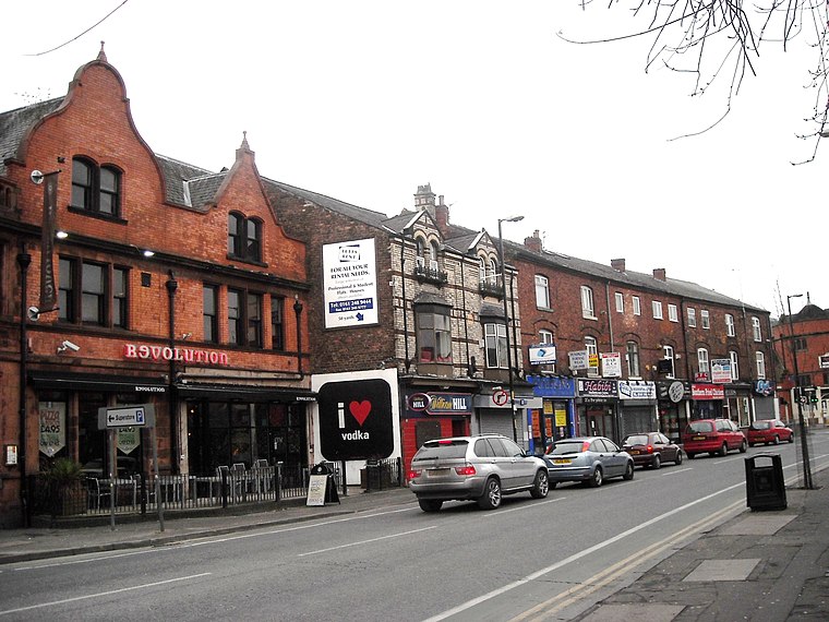
Photo: raver mikey, CC BY 2.0.
Fallowfield is a bustling area of Manchester with a population of 14,869 at the 2021 census. Historically in Lancashire, it lies 3 miles south of Manchester city centre and is bisected east–west by Wilbraham Road and north–south by Wilmslow Road.
Withington
Suburb

Photo: Wikimedia, Public domain.
Withington is a suburb of Manchester, England. Historically part of Lancashire, it lies 4 miles from Manchester city centre, 0.4 miles south of Fallowfield, 0.5 miles north-east of Didsbury and 1 mile east of Chorlton-cum-Hardy.
Ladybarn Lane
- Type: Bus stop
- Category: transportation
- Location: Ringway, Manchester, England, United Kingdom, Britain and Ireland, Europe
- View on OpenStreetMap
Latitude
53.4368° or 53° 26′ 13″ northLongitude
-2.21346° or 2° 12′ 49″ westOperator
TfGMNetwork
TfGMOpen location code
9C5VCQPP+PJOpenStreetMap ID
node 9512002592OpenStreetMap feature
highway=bus_stopOpenStreetMap feature
public_transport=platform
This page is based on OpenStreetMap, Wikidata, and Wikimedia Commons.
We’d love your help improving our open data sources. Thank you for contributing.
Satellite Map
Discover Ladybarn Lane from above in high-definition satellite imagery.
Places with the Same Name
Discover other places named “Ladybarn Lane”.
Notable Places Nearby
Highlights include Ladybarn Lane Post Office and Ladybarn Community Centre.
Nearby Places
Explore places such as Ladybarn Lane and Ladybarn Social Club.
Manchester: Must-Visit Destinations
Delve into Manchester Airport, Victoria-Shopping District, Piccadilly-East Centre, and Castlefield-Petersfield.
Curious Bus Stops to Discover
Uncover intriguing bus stops from every corner of the globe.
About Mapcarta. Data © OpenStreetMap contributors and available under the Open Database License". Text is available under the CC BY-SA 4.0 license, except for photos, directions, and the map. Photo: David Dixon, CC BY-SA 2.0.