Doris Road (adj)
Doris Road (adj) is a bus stop in Warkton, Kettering District, England. Doris Road (adj) is situated nearby to Grange Place, as well as near the church St John’s.| Tap on a place to explore it |
Places of Interest Nearby
Highlights include St John’s and Montagu Hospital.
St John’s
Church

Photo: Philip Jeffrey, CC BY-SA 2.0.
St John’s is a church, which is situated 680 feet north of Doris Road (adj).
Montagu Hospital
Historic building

Photo: Richard Croft, CC BY-SA 2.0.
Montagu Hospital is a historic building, which is situated 1 mile northeast of Doris Road (adj).
Christ the King
Church

Photo: Paul Collins, CC BY-SA 2.0.
Christ the King is a church, which is situated 3,600 feet south of Doris Road (adj).
Places in the Area
Nearby places include Kettering and Barton Seagrave.
Kettering

Photo: Wikimedia, CC BY-SA 2.0.
Kettering is a town of 60,749 people in north Northamptonshire. Kettering owes much of its heritage and growth to the arrival of the railway during the mid-1800s.
Barton Seagrave
Village
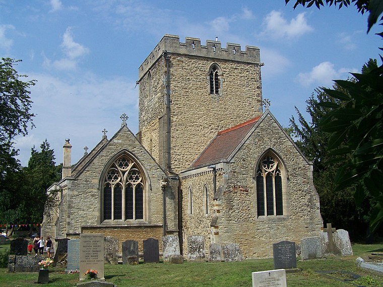
Photo: Geoff Pick, CC BY-SA 2.0.
Barton Seagrave is a large village and civil parish in the North Northamptonshire, England. The village is about 1.5 miles south-east of Kettering, town centre. Barton Seagrave is situated 2 miles south of Doris Road (adj).
Geddington
Village
 Geddington is a village and civil parish on the A4300, previously A43, in North Northamptonshire between Kettering and Corby. The population of the civil parish at the 2011 census was 1,503, virtually unchanged from 1,504 at the 2001 census. Geddington is situated 2½ miles north of Doris Road (adj).
Doris Road (adj)
- Type: Bus stop
- Category: transportation
- Location: Warkton, Kettering District, North Northamptonshire, England, United Kingdom, Britain and Ireland, Europe
- View on OpenStreetMap
Latitude
52.40768° or 52° 24′ 28″ northLongitude
-0.70398° or 0° 42′ 14″ westOpen location code
9C4XC75W+3COpenStreetMap ID
node 9561491851OpenStreetMap feature
highway=bus_stopOpenStreetMap feature
public_transport=platform
This page is based on OpenStreetMap, Wikidata, and Wikimedia Commons.
We’d love your help improving our open data sources. Thank you for contributing.
Satellite Map
Discover Doris Road (adj) from above in high-definition satellite imagery.
Notable Places Nearby
Highlights include Grange Place and Charlotte Place Pocket Park.
Nearby Places
Explore places such as Yum Yums Cafe @ Resource Centre and Ivy Road (opp).
England: Must-Visit Destinations
Delve into London, Manchester, Sheffield, and Leeds.
Curious Bus Stops to Discover
Uncover intriguing bus stops from every corner of the globe.
About Mapcarta. Data © OpenStreetMap contributors and available under the Open Database License". Text is available under the CC BY-SA 4.0 license, except for photos, directions, and the map. Photo: sidibousaid, CC BY 2.0.