Społeczność Chrześcijańska Północ
Społeczność Chrześcijańska Północ is a church in Białołęka, Warsaw, Mazowieckie which is located on Elektronowa. Społeczność Chrześcijańska Północ is situated nearby to the convention center Centrum E10, as well as near the government office Zarząd Zlewni w Warszawie.| Tap on a place to explore it |
- Email: biuro@schpolnoc.pl
- Type: Church
- Address: Elektronowa 10, Warszawa, 03-219
Places of Interest Nearby
Highlights include Warszawa Toruńska railway station and Żerań Power Station.
Warszawa Toruńska railway station
Railway stop

Photo: Boston9, CC BY-SA 3.0 pl.
Warszawa Toruńska railway station is a railway station in the Białołęka and Targówek districts of Warsaw, Poland. As of 2012, it is used by Koleje Mazowieckie, who run the KM9 services from Warszawa Wola or Warszawa Zachodnia through the north of the… Warszawa Toruńska railway station is situated 540 metres east of Społeczność Chrześcijańska Północ.
Żerań Power Station
Power station

Photo: Boston9, CC BY-SA 3.0 pl.
Żerań Heat Power Station is a coal-fired heat power station in the northeastern Warsaw suburb of Żerań, Poland. Built between 1952 and 1956 to Soviet design specifications – with the first turbine becoming operational on 21 July 1954 – it underwent modernisation in the years 1997-2001 when it was taken over by Vattenfall. Żerań Power Station is situated 1 km west of Społeczność Chrześcijańska Północ.
Plebania
Building
 Plebania is a building, which is situated 420 metres south of Społeczność Chrześcijańska Północ.
Places in the Area
Nearby places include North Warsaw and Annopol.
North Warsaw
Northern Warsaw comprises three predominantly residential districts, with some industry and commerce in the form of shopping centres. Białołęka is a rather new districts with only a little number of monument and nearly no tourist attractions, as it is described as "the bedroom of Warsaw".Annopol
Neighborhood
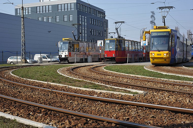
Photo: Cezary p, CC BY-SA 4.0.
Annopol is a neighborhood of Białołęka district in Warsaw, Poland. For the residents of Warsaw, Annopol is known for being a tram terminus, with several Warsaw tram lines stopping here, and it is also an industrial centre.
Żerań
Quarter

Photo: Wojsyl, CC BY-SA 3.0.
Żerań is a northern suburb of Warsaw, Poland, situated in the Białołęka district. It is noted for the Żerań Power Station. The area borders with the Vistula River, the Praga-Północ district and the Tarchomin, Różopol, Konstantynów and Annopol housing estates.
Społeczność Chrześcijańska Północ
- Categories: place of worship and religion
- Location: Białołęka, Warsaw, Mazowieckie, Poland, Central Europe, Europe
- View on OpenStreetMap
Latitude
52.29498° or 52° 17′ 42″ northLongitude
21.0052° or 21° 0′ 19″ eastOpen location code
9G4372V4+X3OpenStreetMap ID
node 9568932150OpenStreetMap feature
amenity=place_of_worship
This page is based on OpenStreetMap, Wikidata, and Wikimedia Commons.
We’d love your help improving our open data sources. Thank you for contributing.
Satellite Map
Discover Społeczność Chrześcijańska Północ from above in high-definition satellite imagery.
Notable Places Nearby
Highlights include Centrum E10 and Zarząd Zlewni w Warszawie.
Nearby Places
Explore places such as Bosta-Beton Zakład I and Mikser 1.
Warsaw: Must-Visit Destinations
Delve into Śródmieście, Old and New Town, Praga, and Western Centre.
Curious Churches to Discover
Uncover intriguing churches from every corner of the globe.
About Mapcarta. Data © OpenStreetMap contributors and available under the Open Database License". Text is available under the CC BY-SA 4.0 license, except for photos, directions, and the map. Photo: Bosyantek, CC BY-SA 3.0.