Auf dem Landgraben
Auf dem Landgraben is a locality in Ettlingen, Karlsruhe, Baden-Württemberg. Auf dem Landgraben is situated nearby to the locality Kopfäcker, as well as near Rohracker.| Tap on a place to explore it |
Places of Interest
Highlights include St. Dionysius and Hans-Bretz-Stadion.


Places in the Area
Nearby places include Spessart and Rheinstetten.
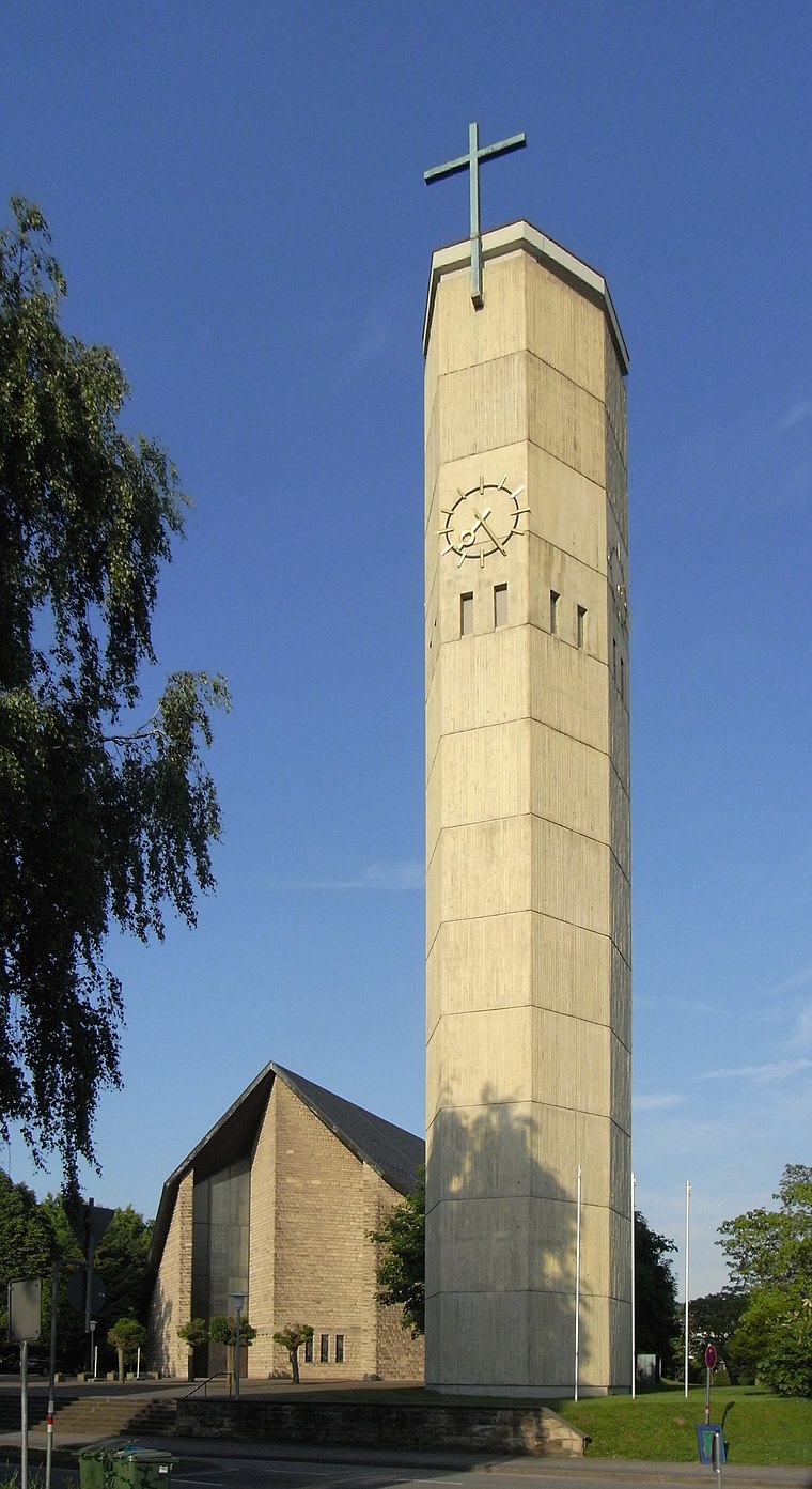
Spessart
Village

Photo: Elwood j blues, CC BY-SA 3.0.
Spessart is a village, which is situated 5 km southeast of Auf dem Landgraben.
Rheinstetten
Town

Photo: DALIBRI, CC BY-SA 4.0.
Rheinstetten is a town in the west of Baden-Württemberg on the border to Rhineland-Palatinate. It is situated to the south-west of Karlsruhe and belongs to the rural district of Karlsruhe. Rheinstetten is situated 6 km northwest of Auf dem Landgraben.
Malsch
Town

Photo: Gerd Eichmann, CC BY-SA 4.0.
Malsch is a municipality in the district of Karlsruhe, in Baden-Württemberg, Germany. It is situated 15 km south of Karlsruhe, and 10 km east of Rastatt, at the eastern border of the Upper Rhine Plain. Malsch is situated 6 km southwest of Auf dem Landgraben.
Auf dem Landgraben
- Type: Locality
- Location: Ettlingen, Karlsruhe, Karlsruhe Region, Rhine-Neckar, Baden-Württemberg, Germany, Central Europe, Europe
- View on OpenStreetMap
Latitude
48.9324° or 48° 55′ 57″ northLongitude
8.37197° or 8° 22′ 19″ eastOpen location code
8FWCW9JC+XQOpenStreetMap ID
node 9652176264OpenStreetMap feature
place=locality
This page is based on OpenStreetMap, Wikidata, and Wikimedia Commons.
We’d love your help improving our open data sources. Thank you for contributing.
Satellite Map
Discover Auf dem Landgraben from above in high-definition satellite imagery.
Localities in the Area
Explore places such as Kopfäcker and Rohracker.
Notable Places Nearby
Highlights include Friedhof Bruchhausen and Kleine Kirche.
Rhine-Neckar: Must-Visit Destinations
Delve into Heidelberg, Karlsruhe, Mannheim, and Heilbronn.
Curious Localities to Discover
Uncover intriguing localities from every corner of the globe.
About Mapcarta. Data © OpenStreetMap contributors and available under the Open Database License". Text is available under the CC BY-SA 4.0 license, except for photos, directions, and the map. Photo: Martin-D, CC BY-SA 2.5.