Camino a Santa Ana Tepetitlán
Camino a Santa Ana Tepetitlán is a bus stop in Zapopan Municipality, Jalisco. Camino a Santa Ana Tepetitlán is situated nearby to the health club OK GYM, as well as near the shopping center Plaza Comercial Sur VIP.| Tap on a place to explore it |
Places of Interest Nearby
Highlights include Periférico Sur and Santuario Mártires de Cristo Rey light rail station.
Periférico Sur
Railway stop

Photo: Elmerhomerochombo, CC BY-SA 4.0.
Periférico Sur is a railway stop, which is situated 3 km east of Camino a Santa Ana Tepetitlán.
Santuario Mártires de Cristo Rey light rail station
Railway stop
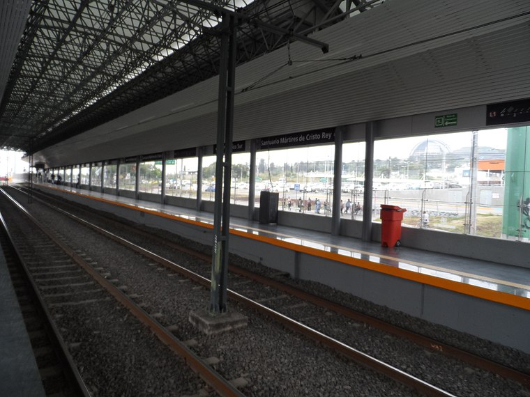
Photo: Elmerhomerochombo, CC BY-SA 4.0.
Santuario Mártires de Cristo Rey is the nineteenth station from north to south, and the second in the opposite direction, of Line 1 of the Sistema de Tren Eléctrico Urbano in Guadalajara, Mexico. Santuario Mártires de Cristo Rey light rail station is situated 3½ km east of Camino a Santa Ana Tepetitlán.
Camino a Santa Ana Tepetitlán
- Type: Bus stop
- Category: transportation
- Location: Zapopan Municipality, Jalisco, Pacific Coast, Mexico, North America
- View on OpenStreetMap
Latitude
20.61221° or 20° 36′ 44″ northLongitude
-103.42878° or 103° 25′ 44″ westOperator
SITEUR;SetranNetwork
Mi Transporte;Mi MacroOpen location code
75GRJH6C+VFOpenStreetMap ID
node 9664168841OpenStreetMap feature
highway=bus_stopOpenStreetMap feature
public_transport=platform
This page is based on OpenStreetMap, Wikidata, and Wikimedia Commons.
We’d love your help improving our open data sources. Thank you for contributing.
Satellite Map
Discover Camino a Santa Ana Tepetitlán from above in high-definition satellite imagery.
Places with the Same Name
Discover other places named “Camino a Santa Ana Tepetitlán”.
Notable Places Nearby
Highlights include Plaza Comercial Sur VIP and OK GYM.
Nearby Places
Explore places such as Mi Lonch. Comida Para Llevar and La Baratera.
Jalisco: Must-Visit Destinations
Delve into Guadalajara, Puerto Vallarta, Tequila, and Tepatitlan.
Curious Bus Stops to Discover
Uncover intriguing bus stops from every corner of the globe.
About Mapcarta. Data © OpenStreetMap contributors and available under the Open Database License". Text is available under the CC BY-SA 4.0 license, except for photos, directions, and the map. Photo: Davalemacmar, CC BY-SA 3.0.