Monts Ramus
Monts Ramus is a volcano in Saint-Thibéry, Arrondissement of Béziers, Occitanie and has an elevation of 88 metres. Monts Ramus is situated nearby to the locality La Potence, as well as near Prat Nau.| Tap on a place to explore it |
Places of Interest
Highlights include Roman Bridge and Abbaye de Saint-Thibéry.
Roman Bridge
Ruins

Photo: Fagairolles 34, CC BY-SA 4.0.
The Roman Bridge at Saint-Thibéry was a Roman bridge on the Via Domitia in southern France. The partly surviving structure crossed the river Hérault in Saint-Thibéry, 17 km east of Béziers.
Abbaye de Saint-Thibéry
Monastery

Photo: Fagairolles 34, CC BY-SA 4.0.
Abbaye de Saint-Thibéry is a monastery.
Église Saint-Thibéry de Saint-Thibéry
Church
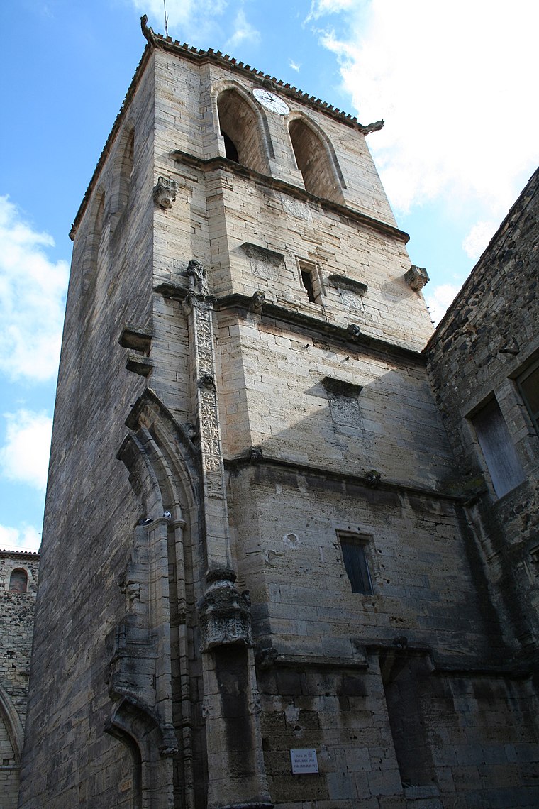
Photo: Fagairolles 34, CC BY-SA 4.0.
Église Saint-Thibéry de Saint-Thibéry is a church.
Monts Ramus
- Type: Volcano with an elevation of 88 metres
- Category: landform
- Location: Saint-Thibéry, Arrondissement of Béziers, Hérault, Occitanie, France, Europe
- View on OpenStreetMap
Latitude
43.3845° or 43° 23′ 4″ northLongitude
3.4158° or 3° 24′ 57″ eastElevation
88 metres (289 feet)Open location code
8FM59CM8+Q8OpenStreetMap ID
node 9665571247OpenStreetMap feature
natural=volcano
This page is based on OpenStreetMap, Wikidata, and Wikimedia Commons.
We’d love your help improving our open data sources. Thank you for contributing.
Satellite Map
Discover Monts Ramus from above in high-definition satellite imagery.
Localities in the Area
Explore places such as La Potence and Prat Nau.
Notable Places Nearby
Highlights include Centrale solaire de la Potence and Cave Coopérative.
Hérault: Must-Visit Destinations
Delve into Montpellier, Béziers, Sète, and Bouzigues.
Curious Volcanoes to Discover
Uncover intriguing volcanoes from every corner of the globe.
About Mapcarta. Data © OpenStreetMap contributors and available under the Open Database License". Text is available under the CC BY-SA 4.0 license, except for photos, directions, and the map. Photo: Ondřej Žváček, CC BY 2.5.