Spielplatz Peterbühl 2
Spielplatz Peterbühl 2 is a playground in Völs am Schlern, South Tyrol, Trentino-Alto Adige. Spielplatz Peterbühl 2 is situated nearby to Saint Peter on the Hill church, as well as near the peak Peterbühel - Colle San Pietro.| Tap on a place to explore it |
Places of Interest Nearby
Highlights include Saint Peter on the Hill church and New cemetery of Völs am Schlern.

New cemetery of Völs am Schlern
Cemetery

Photo: Luppus, CC BY-SA 3.0.
New cemetery of Völs am Schlern is situated 170 metres southeast of Spielplatz Peterbühl 2.
Assumption of Mary
Church

Photo: Mattis, CC BY-SA 3.0.
Assumption of Mary is a church, which is situated 460 metres east of Spielplatz Peterbühl 2.
Places in the Area
Nearby places include Atzwang and Klobenstein.

Klobenstein
Village

Photo: Herbert Ortner, CC BY 4.0.
Klobenstein is a village, which is situated 4 km northwest of Spielplatz Peterbühl 2.
Unterinn
Village
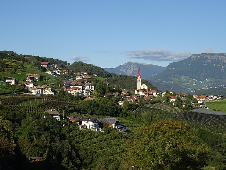
Photo: Syrio, CC BY-SA 4.0.
Unterinn is a village, which is situated 4½ km west of Spielplatz Peterbühl 2.
Spielplatz Peterbühl 2
- Type: Playground
- Category: recreation area
- Location: Völs am Schlern, South Tyrol, Trentino-Alto Adige, Northeast Italy, Italy, Europe
- View on OpenStreetMap
Latitude
46.51818° or 46° 31′ 5″ northLongitude
11.49704° or 11° 29′ 49″ eastOpen location code
8FRHGF9W+7ROpenStreetMap ID
node 9667385615OpenStreetMap feature
leisure=playground
This page is based on OpenStreetMap, Wikidata, and Wikimedia Commons.
We’d love your help improving our open data sources. Thank you for contributing.
Satellite Map
Discover Spielplatz Peterbühl 2 from above in high-definition satellite imagery.
Notable Places Nearby
Highlights include Peterbühel - Colle San Pietro and Spielplatz Peterbühl.
Nearby Places
Explore places such as Koflweber and Pension Fellis.
South Tyrol: Must-Visit Destinations
Delve into Bolzano, Brixen, Merano, and Bruneck.
Curious Playgrounds to Discover
Uncover intriguing playgrounds from every corner of the globe.
About Mapcarta. Data © OpenStreetMap contributors and available under the Open Database License". Text is available under the CC BY-SA 4.0 license, except for photos, directions, and the map. Photo: Wikimedia, CC BY-SA 3.0 de.