Trou des Langues de Cerf
Trou des Langues de Cerf is a cave in Namur, Wallonia. Trou des Langues de Cerf is situated nearby to the cave Trou du Vert Bouc, as well as near Faille des Orchidées.| Tap on a place to explore it |
Places of Interest Nearby
Highlights include Walzin Castle and Gendron-Celles railway station.
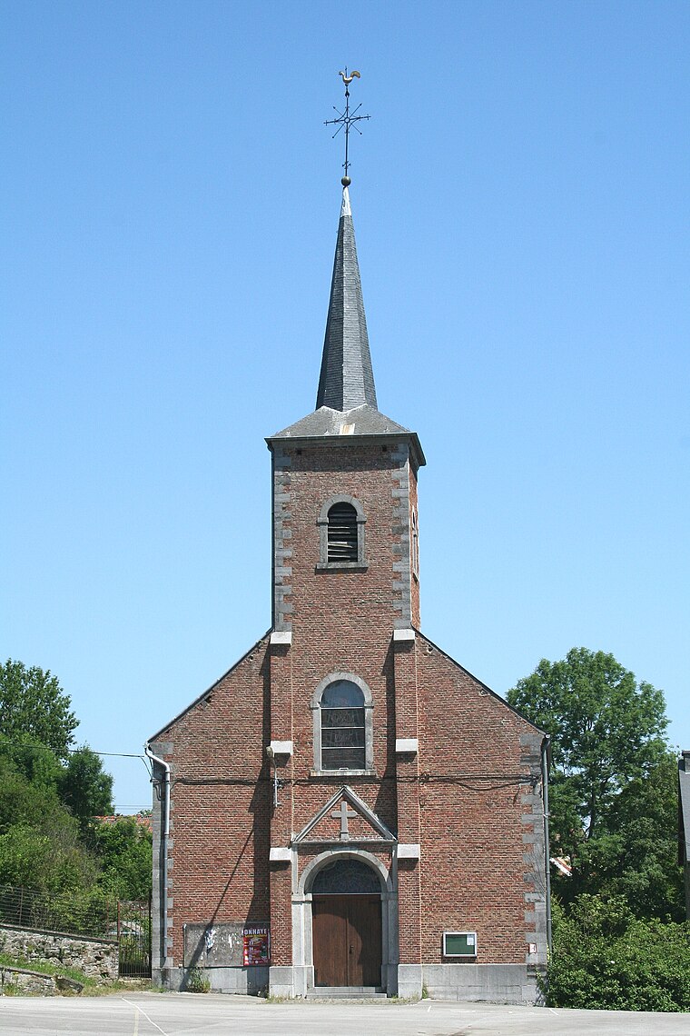
Walzin Castle
Castle

Photo: Nenea hartia, CC BY-SA 4.0.
Walzin Castle is a castle in the city of Dinant, Wallonia Belgium in the province Namur over the river Lesse, district of Dréhance. This Gothic Revival castle stands on a steep rock above the right bank of the Lesse, about 5km before it flows into the Meuse. Walzin Castle is situated 2 km northwest of Trou des Langues de Cerf.
Gendron-Celles railway station
Railway station
 Gendron-Celles railway station is situated 1½ km east of Trou des Langues de Cerf.
Château Miranda
Ruins
 Château Miranda, also known as Château de Noisy was a 19th-century neo-Gothic castle in Celles, province of Namur, Wallonia, Belgium, in the region of the Ardennes. Demolition of the château began in October 2016 and was completed by October 2017. Château Miranda is situated 3½ km east of Trou des Langues de Cerf.
Places in the Area
Nearby places include Hulsonniaux and Furfooz.


Trou des Langues de Cerf
Latitude
50.21097° or 50° 12′ 40″ northLongitude
4.94453° or 4° 56′ 40″ eastOpen location code
9F266W6V+9ROpenStreetMap ID
node 9718998119OpenStreetMap feature
natural=cave_entrance
This page is based on OpenStreetMap, Wikidata, and Wikimedia Commons.
We’d love your help improving our open data sources. Thank you for contributing.
Satellite Map
Discover Trou des Langues de Cerf from above in high-definition satellite imagery.
Notable Places Nearby
Highlights include Trou du Vert Bouc and Faille des Orchidées.
Nearby Places
Explore places such as The Pond and CACHETTES DE PIERRES SECHES.
Curious Caves to Discover
Uncover intriguing caves from every corner of the globe.
About Mapcarta. Data © OpenStreetMap contributors and available under the Open Database License". Text is available under the CC BY-SA 4.0 license, except for photos, directions, and the map. Photo: Zairon, CC BY-SA 4.0.